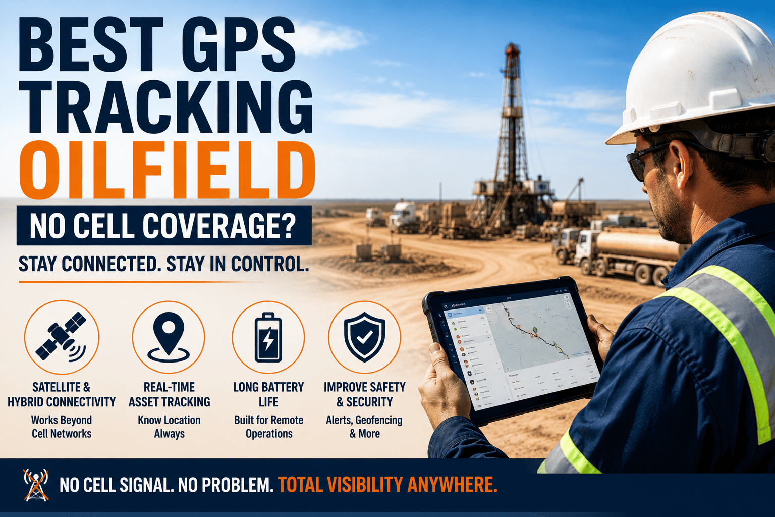
A truck leaves the yard, drives eighty kilometers of lease road, and disappears from the dashboard the moment it passes the last cell tower. To the dispatcher watching the screen, it looks like the vehicle stopped existing. In reality it's still moving, still working, still carrying whatever it's carrying, but the GPS system built for city delivery routes simply wasn't designed to see it out there. That blind spot is where most oilfield tracking failures actually happen, not from bad hardware, but from a coverage assumption that never matched the terrain.
The best GPS tracking for oilfield vehicles combines standard cellular tracking with automatic satellite fallback, so a vehicle never goes dark just because it crossed out of tower range. Cellular-only systems create blind spots that cost mid-size fleets millions annually in delayed response and untracked movement, while hybrid systems maintain continuous visibility from the yard to the most remote wellpad. Start a free trial to see hybrid tracking running across your own lease roads.
Why Cellular-Only GPS Goes Dark in the Oilfield
Commercial GPS platforms were built around highway transport and city delivery, where cellular coverage is continuous and towers are never far away. Oilfield operations break that assumption completely. Vehicles routinely work 80 or more kilometers from the nearest tower, cross unpaved lease roads with heavy signal interference, and move between onshore bases and offshore platforms where cellular infrastructure simply doesn't exist. A tracker built only for cellular has nothing to fall back on out there, it just stops transmitting.
The Blackout Window Is the Real Risk
When a cellular-only tracker loses signal, the vehicle doesn't just become imprecise, it disappears entirely until the connection returns, sometimes hours or days later. Whatever happened during that blackout, a route deviation, an SOS event, a HAZMAT movement, gets reconstructed only after the fact from a batch upload. Emergency response during that gap has been shown to run 30 minutes or more slower on average, which is a difference that matters enormously if the event is a rollover or a medical emergency on an unmanned lease road.
What This Actually Costs a Mid-Size Fleet
Across a 500-vehicle oilfield fleet, the combined cost of delayed emergency response, untracked HAZMAT movement, and unmanaged asset utilization from visibility gaps has been estimated at 6 to 14 million dollars annually. That number rarely shows up as a single line item, it's spread across incident response costs, compliance penalties, and idle assets nobody realized were sitting unused at the wrong site.
FleetRabbit's hybrid tracking switches from cellular to satellite automatically the instant signal drops, maintaining position updates from the yard to the most remote wellpad with no blackout window. Start your free trial and see it running against your lease road network.
What To Look For In A No-Coverage GPS System
Not every system marketed for remote operations actually closes the visibility gap. These are the capabilities that separate a real solution from a cellular tracker with a marketing label.
Automatic Satellite Fallback, Not a Separate System
The switch from cellular to satellite should happen instantly and automatically, with the dispatcher seeing one continuous track rather than managing two separate tools. If satellite coverage requires a manual toggle or a different dashboard, it will get missed exactly when it matters most.
Local Data Buffering
Even the best satellite fallback benefits from a device that can store data locally during any gap and sync it the moment connectivity returns, so nothing is lost even in the rare edge case where both cellular and satellite are briefly unavailable.
Satellite-Enabled Emergency Alerts
An SOS button that only works over cellular is only useful in the parts of the field where an emergency is least likely to be catastrophic. A true remote-ready system transmits driver-activated alerts via satellite with GPS coordinates, vehicle ID, and timestamp, cutting emergency response time significantly.
Continuous Geofencing and Route Monitoring
Geofence arrival and departure at wellpad locations, and route deviation monitoring against a configured corridor, should keep working straight through a cellular-to-satellite transition instead of pausing until signal returns.
| Capability | Cellular-Only GPS | Hybrid Cellular + Satellite |
|---|---|---|
| Coverage Beyond Tower Range | Vehicle disappears from dashboard | Continuous tracking via satellite handoff |
| Data During A Blackout | Batch-uploaded after signal returns | Real-time, no blackout window |
| Emergency Alerts | Fails if triggered out of coverage | Transmits via satellite regardless of location |
| Compliance Records | Gaps during dead zones | Complete, gap-free location history |
How FleetRabbit Closes the Coverage Gap
FleetRabbit uses cellular connectivity where it's available and switches automatically to Iridium satellite fallback the instant it isn't, maintaining position updates roughly every 30 seconds regardless of location across the operational territory. The transition is instantaneous, so dispatchers see one continuous vehicle track instead of a gap followed by a jump. Data is buffered locally with encrypted storage during any offline period and syncs automatically the moment connectivity is restored, giving compliance teams a complete, gap-free location history rather than reconstructed guesswork. Deployment typically runs 5 to 7 working days at roughly 3 dollars per vehicle per month, a cost that a single prevented incident or avoided compliance penalty can offset many times over. Fleet managers who want to see this running on their own lease road network can book a demo and watch the cellular-to-satellite handoff live.
FleetRabbit's dual-mode tracking eliminates the visibility gap that costs fleets millions annually, with automatic satellite handoff, encrypted offline buffering, and deployment in 5 to 7 days.
Frequently Asked Questions
A blind spot on a lease road is a blind spot in your safety record, your compliance documentation, and your bottom line. FleetRabbit keeps every vehicle visible from the yard to the most remote wellpad, with automatic satellite fallback and no blackout window.







