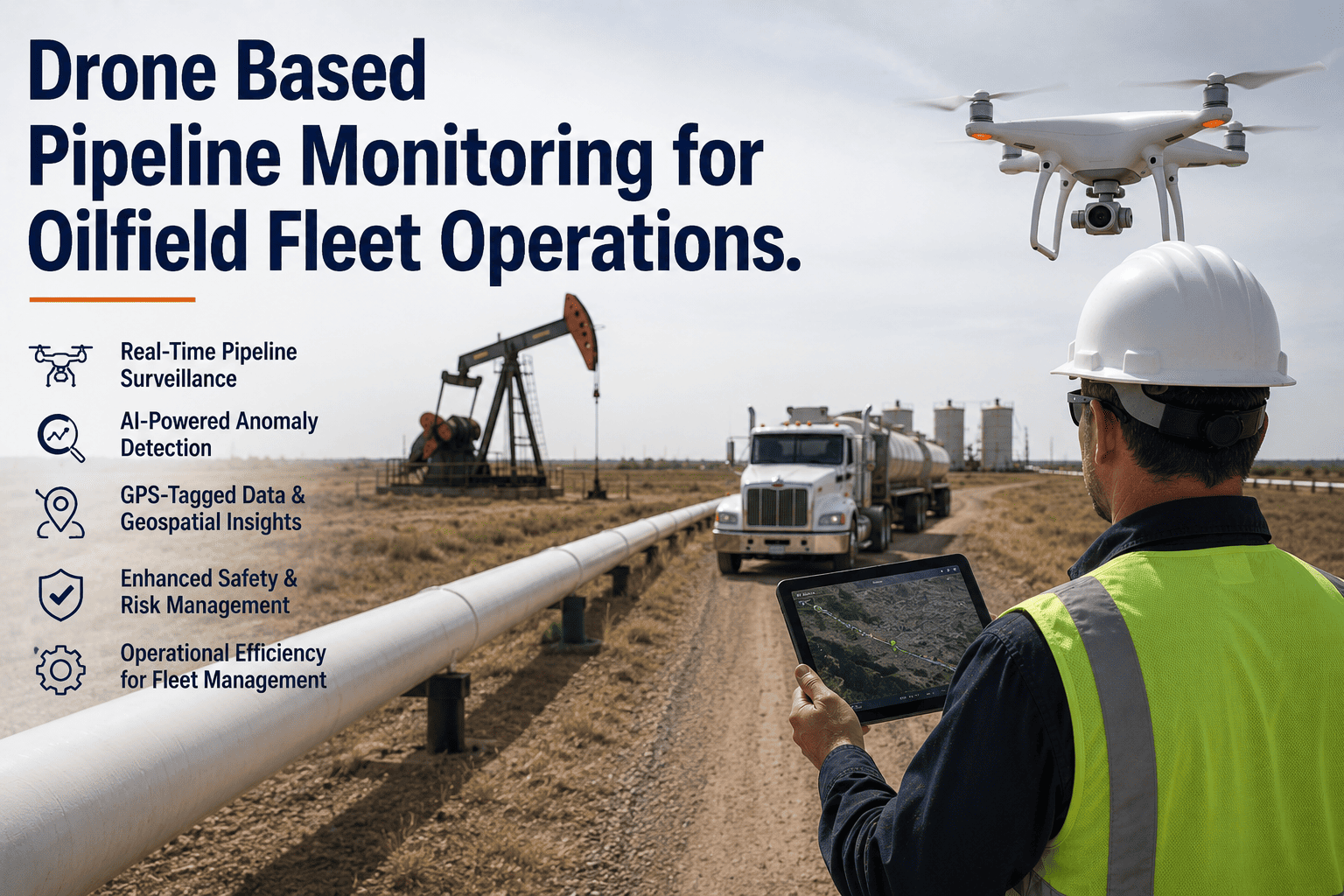
Drone-based pipeline monitoring represents the operational visibility transformation separating progressive oilfield operators achieving 60-65 percent inspection cost reduction and 94-97 percent anomaly detection accuracy from traditional competitors relying on manual ground patrol methods consuming $210-$253 per kilometer annual inspection expenses, missing critical integrity threats invisible from ground level including coating degradation on elevated crossings and vegetation encroachment patterns indicating subsurface moisture accumulation, and requiring 3-5 days mobilization time for emergency re-inspection when leak detection systems trigger alerts versus 2-4 hours drone deployment response. The fundamental inspection challenge stems from pipeline infrastructure geography spanning remote territories where lease roads absent or impassable during seasonal weather conditions making ground vehicle access impossible, elevated river and ravine crossings requiring specialized rope access equipment and confined space entry procedures for visual examination, and vegetation density obscuring pipeline corridor visibility preventing effective ground-based anomaly identification of coating damage, mechanical interference, and unauthorized construction activity encroaching on right-of-way easements. Traditional ground patrol inspection methods create systematic coverage gaps where inaccessible pipeline segments receive annual or less-frequent examination versus monthly or quarterly intervals required by integrity management programs, visual inspection quality varies dramatically based on individual inspector experience and environmental conditions affecting ground-level visibility, photographic documentation lacks comprehensive corridor coverage making year-over-year comparison analysis incomplete, and emergency response inspection mobilization requires equipment transport, personnel deployment, and site access coordination consuming hours or days when immediate pipeline integrity assessment needed following third-party damage reports or leak detection alerts. Progressive pipeline operators deploy integrated drone-fleet monitoring platforms transforming reactive ground inspection into systematic aerial surveillance programs — FleetRabbit's drone coordination system schedules automated flight missions covering pipeline corridors at predetermined intervals matching regulatory patrol frequency requirements, processes high-resolution aerial imagery through AI anomaly detection algorithms identifying coating defects, vegetation encroachment, unauthorized construction, and mechanical interference with 94-97 percent accuracy, generates GPS-tagged inspection reports with photographic evidence and anomaly severity classification satisfying PHMSA regulatory documentation requirements, and coordinates ground fleet dispatch for confirmed anomaly investigation and remediation integrating aerial surveillance findings into mobile work order workflows enabling same-day response to identified integrity threats. Book a demo to see FleetRabbit's drone-fleet integration demonstrated with actual pipeline monitoring workflows.
Drone-Based Pipeline Monitoring for Oilfield Fleet Operations
Traditional ground patrol inspection creates systematic coverage gaps where inaccessible segments receive inadequate examination frequency, visual quality varies with inspector experience, and emergency mobilization requires hours or days. FleetRabbit's drone-fleet integration enables automated aerial surveillance at 60-65 percent cost reduction, AI anomaly detection achieving 94-97 percent accuracy, regulatory-compliant documentation, and coordinated ground fleet dispatch for same-day anomaly investigation and remediation.
Why Traditional Pipeline Patrol Methods Fail Comprehensive Integrity Monitoring
Geographic Accessibility Constraints
Pipeline infrastructure traverses diverse terrain including mountainous regions where corridors follow steep slopes and ravine crossings inaccessible by conventional ground vehicles, wetland areas where seasonal flooding prevents vehicular access for 3-6 months annually, agricultural lands where crop cultivation prohibits ground patrol during growing seasons to avoid crop damage, and remote wilderness areas lacking maintained road access requiring off-road vehicle transport or foot patrol consuming excessive time and personnel resources. Elevated pipeline crossings spanning rivers, highways, and railroad corridors require specialized rope access equipment and confined space entry procedures for visual examination from ground level — inspection methods demanding specialized personnel certification, safety equipment deployment, and traffic control coordination adding $800-$1,200 per crossing inspection costs.
Visual Inspection Quality Variability
Ground-based visual inspection quality depends heavily on individual inspector experience, attention to detail, environmental visibility conditions, and physical stamina affecting observation consistency over extended patrol routes. Experienced inspectors identify subtle coating color changes indicating corrosion progression, recognize vegetation patterns suggesting subsurface moisture accumulation, and detect minor soil subsidence or heaving indicating potential pipeline movement — anomaly identification skills developed through years of field experience not consistently replicated across inspector workforce. Environmental conditions including fog, rain, snow, and low-angle sunlight dramatically reduce visual inspection effectiveness making anomaly identification unreliable during adverse weather periods common in many operational regions.
Emergency Response Mobilization Delays
Pipeline leak detection systems, third-party damage reports, and public notifications trigger immediate re-inspection requirements where rapid visual assessment needed to determine incident severity, identify affected pipeline segments, and coordinate emergency response resources. Ground patrol mobilization requires inspector dispatch from central office or field location potentially hours away from incident site, equipment loading including safety gear and documentation materials, travel time to remote locations via indirect routing when direct access roads unavailable, and on-site access coordination with landowners or public authorities controlling entry permissions. The cumulative mobilization timeline averages 4-8 hours for routine re-inspection requests and 12-24 hours for remote locations or after-hours incidents when personnel recall required — delays preventing timely integrity assessment when rapid decision-making critical for public safety and environmental protection.
Drone-based aerial surveillance eliminates geographic accessibility constraints, standardizes inspection quality through AI anomaly detection, and enables 2-4 hour emergency mobilization versus 4-8 hour ground patrol deployment. Start a free trial to deploy drone-fleet integration across your pipeline operations →
Four Integrated Capabilities Transforming Pipeline Integrity Monitoring
FleetRabbit's drone coordination platform delivers automated flight mission scheduling matching regulatory patrol frequencies, AI-powered anomaly detection achieving 94-97 percent accuracy identifying coating defects and encroachment threats, regulatory-compliant documentation with GPS-tagged photographic evidence, and integrated ground fleet dispatch enabling same-day investigation and remediation of identified integrity threats.
Automated Flight Mission Planning and Scheduling
FleetRabbit's drone mission planner automatically generates flight routes covering pipeline corridor segments at predetermined intervals matching PHMSA Part 195 patrol frequency requirements — monthly for high-consequence areas, quarterly for standard segments, and on-demand for emergency re-inspection following leak detection alerts or third-party damage reports. Automated flight planning algorithms optimize route efficiency accounting for drone battery endurance limitations requiring periodic landing and battery exchange, no-fly zone restrictions including airports and military installations, and weather condition monitoring postponing scheduled missions when wind speeds exceed safe operating limits or precipitation threatens equipment damage. Mission scheduling coordinates drone deployment with ground fleet availability ensuring inspection crews positioned for same-day anomaly investigation when aerial surveillance identifies integrity threats requiring immediate ground verification.
AI-Powered Anomaly Detection and Classification
FleetRabbit processes high-resolution aerial imagery captured during drone missions through machine learning algorithms trained on thousands of pipeline corridor images identifying coating degradation, vegetation encroachment, unauthorized construction activity, mechanical interference, soil disturbance, and marker sign damage with 94-97 percent detection accuracy. The AI system classifies identified anomalies by severity level — critical threats requiring immediate ground investigation including coating failure exposing bare steel and third-party excavation activity within pipeline easement, moderate concerns warranting investigation within 7-14 days including vegetation overgrowth and minor coating discoloration, and low-priority observations for next scheduled patrol including marker sign weathering and minor drainage changes. Automated anomaly detection eliminates subjective visual interpretation variability inherent in manual image review standardizing inspection quality across entire pipeline network regardless of individual inspector experience levels.
Regulatory-Compliant Documentation and Reporting
FleetRabbit automatically generates PHMSA-compliant patrol documentation including GPS-tagged inspection records proving corridor coverage, high-resolution photographic evidence with embedded coordinate metadata, anomaly identification reports with severity classification and recommended response actions, and year-over-year comparison analysis demonstrating progressive corridor condition changes. The documentation system maintains complete inspection history with tamper-evident timestamps and user attribution satisfying regulatory audit requirements for demonstration of patrol frequency compliance and anomaly response effectiveness. Automated report generation compiles patrol findings within 2-4 hours of mission completion versus 2-3 days manual report assembly from ground inspection notes and photographs enabling rapid regulatory submission when required.
Integrated Ground Fleet Dispatch and Work Order Management
FleetRabbit coordinates drone-identified anomaly investigation through integrated ground fleet dispatch automatically generating mobile work orders for inspection crews positioned nearest to identified integrity threats. The dispatch system prioritizes anomaly investigation by severity classification routing critical threats requiring immediate attention to available crews within 2-4 hour response radius, schedules moderate severity investigations for next available patrol resources, and queues low-priority observations for inclusion in routine patrol routes. Mobile work orders include aerial imagery showing anomaly location and characteristics, GPS coordinates for precise navigation to investigation site, recommended investigation procedures based on anomaly type, and digital forms for ground verification findings and remediation recommendations enabling same-day response cycle from aerial detection through ground investigation to corrective action initiation.
Integrated drone-fleet coordination delivers 60-65 percent inspection cost reduction through automation while improving detection accuracy to 94-97 percent and enabling same-day anomaly response versus multi-day traditional patrol cycles. Schedule a demo to review drone integration economics and workflow for your pipeline network →
Traditional Ground Patrol Versus Drone Aerial Surveillance Economics
FleetRabbit Drone-Fleet Integration Deployment
Regulatory Compliance and Equipment Procurement
FleetRabbit implementation team coordinates FAA Part 107 remote pilot certification for designated operators including exam preparation resources and scheduling, submits airspace authorization requests for pipeline corridor operations in controlled airspace requiring LAANC approval, and procures enterprise-grade drone equipment with extended battery capacity, high-resolution cameras, and GPS precision positioning. Regulatory compliance includes Certificate of Waiver applications when operations require beyond visual line of sight flight or nighttime inspection capability. Equipment selection considers pipeline corridor length determining required battery endurance and camera resolution specifications ensuring anomaly detection accuracy.
AI Model Training and Flight Route Development
AI anomaly detection algorithms trained using historical pipeline corridor imagery provided by operator supplemented by FleetRabbit reference image database covering common integrity threats. Model training customizes detection sensitivity for operator-specific corridor characteristics including coating type, vegetation density, and terrain features affecting baseline appearance. Flight route development maps complete pipeline network accounting for battery exchange locations, no-fly zone restrictions, and ground crew positioning for coordinated anomaly investigation. Initial test flights validate route efficiency, camera settings for optimal image quality, and AI model accuracy before production deployment.
Ground Crew Training and Workflow Integration
Pipeline inspection personnel training covers mobile work order receipt and processing for drone-identified anomalies, ground investigation procedures with photographic documentation requirements, and digital reporting workflows submitting verification findings. Dispatcher training demonstrates anomaly prioritization, crew assignment optimization, and emergency response coordination when critical threats identified. System integration testing validates complete workflow from automated mission scheduling through aerial surveillance, AI anomaly detection, ground crew dispatch, investigation completion, and remediation work order generation ensuring seamless operation before production deployment.
Production Operations and Continuous Optimization
Automated drone missions execute according to regulatory patrol schedules with AI anomaly detection processing imagery and generating ground investigation work orders. Monthly performance reviews analyze detection accuracy rates, false positive frequencies, and response time metrics identifying optimization opportunities. Quarterly AI model retraining incorporates recent imagery improving detection capabilities as seasonal vegetation patterns change and new anomaly types emerge. Annual regulatory compliance audits demonstrate patrol frequency achievement and anomaly response effectiveness satisfying PHMSA integrity management requirements.
Common Questions About Drone Pipeline Monitoring
Deploy Drone-Based Monitoring Achieving 60-65% Cost Reduction
FleetRabbit's integrated drone-fleet coordination platform transforms traditional ground patrol inspection consuming $210-$253 per kilometer annually with systematic coverage gaps and subjective quality variability into automated aerial surveillance achieving $14-$16 per kilometer cost representing 60-65 percent reduction while improving detection accuracy to 94-97 percent through AI-powered anomaly identification standardizing inspection quality, eliminating geographic accessibility constraints enabling complete corridor coverage including elevated crossings and inaccessible terrain, reducing emergency re-inspection mobilization from 4-8 hours ground patrol deployment to 2-4 hours drone response, generating PHMSA-compliant documentation with GPS-tagged photographic evidence and automated report assembly within 2-4 hours versus 2-3 days manual compilation, and coordinating ground fleet dispatch for same-day anomaly investigation and remediation through integrated mobile work order workflows — delivering comprehensive pipeline integrity monitoring transformation achieving superior regulatory compliance, enhanced threat detection capabilities, accelerated response timelines, and dramatic cost reduction with typical 18-24 month ROI including equipment acquisition and training investments for 500-kilometer pipeline network operations.







