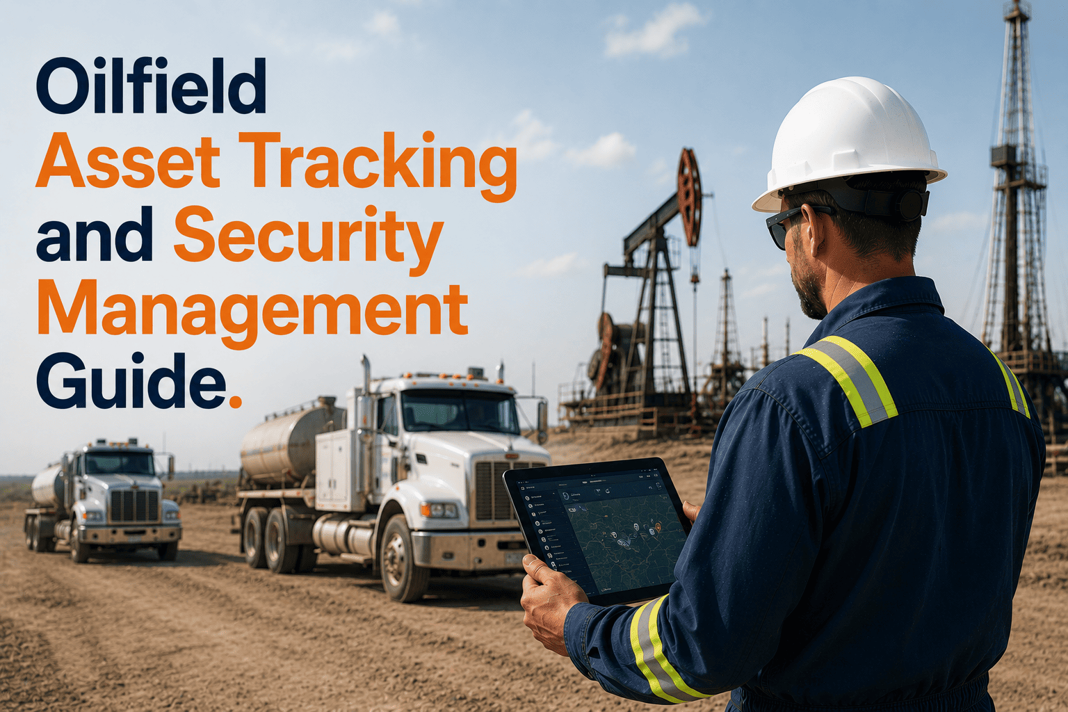
Oilfield asset losses represent one of the most preventable — and most consistently under-managed — cost categories in oil and gas fleet operations. Equipment theft from remote Permian, Eagle Ford, and Bakken Basin lease sites averages $25,000–$45,000 per stolen vehicle, with recovery rates below 55% for untracked assets versus 85–95% when GPS data enables real-time law enforcement coordination. Beyond outright theft, unauthorized after-hours usage, undocumented equipment relocation, and chronic location-unknown status across dispersed multi-site operations create a shadow cost layer that fleet managers cannot quantify without systematic asset tracking — an estimated 8–12% of annual fleet operating budgets consumed by unauthorized usage, unnecessary rental sourcing due to location uncertainty, and productivity lost chasing asset whereabouts rather than managing operational output. FleetRabbit's integrated GPS asset tracking platform transforms oilfield asset security from reactive loss reporting into proactive protection — giving fleet managers and executives real-time location visibility, automated security alerts, and comprehensive asset documentation that protects capital, eliminates unauthorized usage costs, and satisfies the insurance verification requirements that major carriers now mandate for commercial oilfield fleet accounts. Schedule a consultation to see how FleetRabbit asset tracking protects your oilfield fleet investments.
Oilfield Asset Tracking and Security Management: Complete GPS Visibility for Remote Basin Operations
FleetRabbit's GPS asset tracking platform delivers real-time location visibility across every vehicle and equipment asset in your oilfield fleet — enabling theft detection within minutes, recovery coordination within hours, unauthorized usage prevention through automated geofence alerts, and the insurance-grade security documentation that preferred-risk carriers require from well-managed fleet operators.
Five Asset Security Risks That Cost Oilfield Operators Millions Annually Without Systematic Tracking
Vehicle and Equipment Theft at Remote Locations
Service trucks, specialty equipment, and trailers staged at unattended Bakken and Permian Basin lease sites present low-deterrence theft targets — often discovered at shift start hours after removal, when the stolen asset is already beyond easy law enforcement intercept range. Without GPS location data, theft reports rely on physical description and VIN submission with no active location tracking capability.
After-Hours Unauthorized Usage and Fuel Theft
Company vehicles used for personal transportation, unauthorized site access, and off-route travel outside approved shift windows consume fuel, accumulate unauthorized mileage, and create liability exposure from incidents occurring during unmonitored usage periods. Without automated after-hours alerts, unauthorized usage accumulates for weeks before monthly fuel card reconciliation reveals the pattern — months after the cost has compounded.
Asset Location Unknown — Dispatch Coordination Failures
Dispersed multi-basin operations experience chronic location-unknown status for 3–5% of fleet at any given time — creating dispatch coordination failures where managers source rental equipment at premium daily rates while owned assets exist at accessible nearby locations. The operational cost of uncertainty exceeds the direct theft cost for most oilfield fleets operating without systematic GPS tracking.
Equipment Relocation Without Documentation Trail
Assets relocated between job sites by field crews without documented authorization create ownership visibility gaps that compound over time — equipment assigned to one cost center appearing on another site's inventory, maintenance services being skipped due to location confusion, and insurance coverage uncertainty when assets cannot be accurately located in real time for policy verification.
Insurance Non-Compliance and Premium Escalation
Commercial insurance carriers increasingly require documented GPS tracking as a condition of standard-rate policy issuance for oilfield vehicle fleets — with non-compliant operators classified as high-risk accounts paying 15–30% premium surcharges or facing policy cancellation. The cost of GPS tracking at $3 per vehicle monthly is recovered multiple times over through the insurance savings alone when documented programs support preferred-risk classification at renewal.
Seven GPS Tracking and Security Features That Protect Oilfield Fleet Assets
Real-Time Fleet Map and Asset Location Dashboard
Every fleet asset visible on a live GPS map updated continuously — showing vehicle location, movement status, current driver assignment, and time at current location simultaneously across all operational sites. Fleet managers access the complete fleet picture from any device without status calls, field radio coordination, or manual reporting, enabling dispatch decisions based on actual asset location rather than estimated whereabouts.
Geofence Security Zones and Boundary Alert System
Virtual perimeter boundaries configured around lease areas, staging yards, service locations, and approved operational zones generate immediate alerts when assets enter or exit designated areas outside approved windows. Geofence alerts detect unauthorized equipment departures within minutes of occurrence — enabling same-shift investigation and intervention before assets travel beyond recovery range or unauthorized usage accumulates significant cost exposure.
After-Hours Movement Detection and Theft Alerts
Automated alerts trigger when any fleet asset shows movement outside approved shift windows — delivering SMS and email notifications to fleet managers and supervisors within minutes of unauthorized engine start. Rapid notification enables law enforcement coordination while the asset is still in detectable range, converting theft detection from next-day discovery to real-time intervention. GPS location data provided directly to law enforcement accelerates recovery coordination significantly.
Asset Location History and Movement Audit Trails
Complete GPS breadcrumb history for every fleet asset — storing route paths, location timestamps, speed data, and stop duration records — creates an immutable audit trail that supports insurance claims, accident investigations, contract billing verification, and asset custody documentation. Historical location records accessible instantly from any device eliminate the manual documentation assembly that makes post-incident investigation so time-consuming and evidence-incomplete.
Hybrid Cellular-Satellite Connectivity for Remote Basin Coverage
Remote oilfield lease locations 80–120 kilometers from cellular tower infrastructure create coverage gaps where cellular-only GPS systems lose signal and visibility — precisely where asset theft and unauthorized usage risk is highest. FleetRabbit's hybrid architecture automatically switches to Iridium satellite backup when cellular signal is unavailable, maintaining continuous real-time tracking regardless of operational geography.
Asset Utilization and Idle Inventory Identification
Continuous utilization tracking identifies assets sitting idle at low-demand locations that could be redeployed to eliminate rental sourcing at high-demand sites — turning the asset security platform into an operational efficiency tool simultaneously. Fleet managers see utilization rates by asset, location, and time period enabling demand-balanced allocation that recovers idle capacity value while maintaining complete security visibility across the entire asset base.
Insurance-Grade Security Documentation and Compliance Reports
FleetRabbit generates the GPS tracking documentation packages that commercial insurance carriers require to classify oilfield fleet accounts as preferred risks eligible for standard-rate policies. Monitoring history, geofence configuration records, alert response documentation, and asset location audit trails provide the verified security program evidence that supports insurance premium negotiation at policy renewal — often recovering the platform investment many times over through premium reduction alone.
FleetRabbit Asset Tracking Investment Is Recovered Through a Single Prevented Theft
At $3 per vehicle monthly, a 100-vehicle fleet invests $3,600 annually in asset tracking. One prevented theft worth $25,000–$45,000 recovers the investment 7–12 times over — before counting insurance savings, rental elimination, and dispatch efficiency gains that compound the return continuously.
From Zero Asset Visibility to Complete Fleet Security in 48 Hours
FleetRabbit's standardized oilfield configuration deploys GPS tracking, geofence boundaries, and security alert systems across any fleet size within 48 hours of account activation — no site visits, no technician scheduling, no extended setup delays.
Account Setup and Fleet Configuration
Fleet inventory import, vehicle profile configuration, driver assignment, and operational zone mapping completed within 24 hours of signup. Standard oilfield templates for lease area geofences, after-hours alert windows, and utilization thresholds accelerate configuration without requiring custom development for each deployment.
Hardware Activation and Connectivity Verification
GPS hardware activates through OBD-II plug-in for light-duty vehicles or hardwired installation for heavy equipment requiring auxiliary input monitoring. Existing compatible hardware from Geotab, Samsara, or Verizon Connect integrates without replacement. Connectivity verification confirms cellular and satellite coverage across specific operational territories before full deployment sign-off.
Security Alert Configuration and Team Training
Geofence boundaries mapped to active operational zones, after-hours alert thresholds set to approved shift windows, and escalation workflows configured to notify appropriate supervisors and security contacts. Fleet manager and dispatcher training on dashboard navigation, alert response protocols, and law enforcement coordination procedures completes the deployment — typically requiring 2–3 hours of guided walkthrough.
Insurance Documentation and Carrier Notification
FleetRabbit generates the monitoring activation certificate, geofence configuration documentation, and coverage verification report that insurance carriers require for preferred-risk reclassification. Carrier notification letter template and supporting platform documentation package submitted at next policy review cycle to initiate premium renegotiation based on documented GPS security program implementation.
Permian Basin Operator: $1.12M Annual Value From GPS Asset Tracking Deployment
Deploy Real-Time GPS Asset Tracking and Eliminate Theft, Unauthorized Usage, and Location Uncertainty Across Your Entire Fleet
FleetRabbit's integrated asset tracking platform delivers complete real-time fleet visibility, automated theft detection within minutes, geofence security alerts at boundary violations, 100% coverage through hybrid cellular-satellite connectivity, GPS accident reconstruction records, insurance-grade security documentation, and utilization analytics that eliminate rental premium waste — all at $3 per vehicle monthly with 48-hour deployment and no long-term contract.







