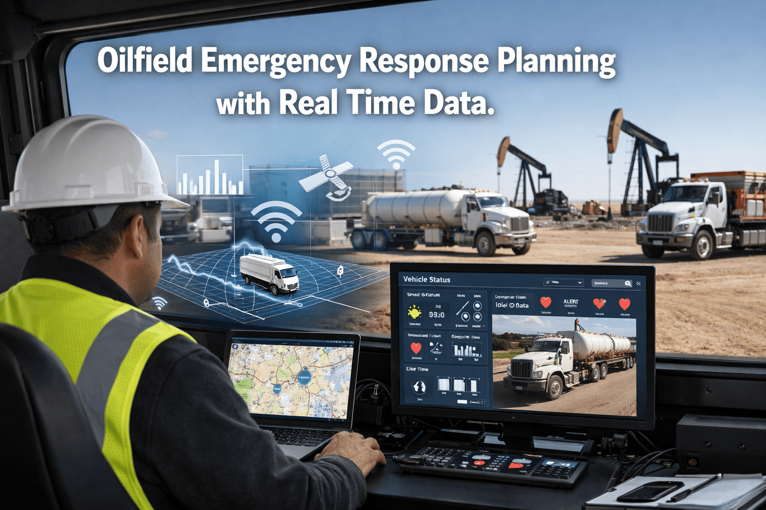
When a blowout occurs at a remote wellsite, the difference between a contained incident and a catastrophic loss of life is measured in minutes — not hours. Traditional oilfield emergency response planning relies on static call trees, paper-based muster registers, and radio communications that fail precisely when they are needed most. In high-consequence environments where a single delayed response decision costs lives and tens of millions in assets, manual coordination is no longer a risk that operators can accept. FleetRabbit's emergency response platform integrates real-time fleet tracking, live incident command, automated resource dispatch, and dynamic risk mapping into a single operational view — giving fleet managers and emergency coordinators the situational awareness to make the right call in the first 90 seconds. Book a demo to see how FleetRabbit transforms oilfield emergency response from reactive to pre-emptive.
Oilfield Emergency Response Planning with Real-Time Data
Static call trees and paper muster registers fail when you need them most. FleetRabbit's live fleet tracking, automated dispatch, and dynamic risk mapping give emergency coordinators accurate situational awareness from the first 90 seconds of any oilfield incident.
Why Manual Emergency Response Fails Oilfield Operations
Oilfield emergency response planning has not kept pace with operational complexity. As fleets scale across remote multi-site operations, the information gap between what is happening on the ground and what emergency coordinators can see from a control room widens to the point where critical decisions are made on outdated data — or no data at all.
No Real-Time Personnel Location
During a muster event, supervisors physically count personnel at muster points. In a multi-point, multi-rig scenario this takes 12–20 minutes. Three personnel unaccounted for could mean they are sheltering in place, incapacitated, or have self-evacuated — the coordinator has no way to distinguish without radio contact that may itself be compromised by the incident.
Static Response Plans in Dynamic Incidents
Emergency response plans are written for predicted scenarios, not actual ones. A well blowout with a wind shift, a vehicle fire blocking the primary evacuation route, or simultaneous incidents at two sites all require real-time plan adaptation that paper documents and static call trees cannot support. Coordinators improvise — introducing human error at the worst possible moment.
Nearest Resource is Unknown
Emergency coordinators rely on memory or outdated dispatch logs to identify which response vehicle or unit is closest to the incident. A medic unit positioned 6km from the incident may be dispatched while an identical unit 2km away sits idle — simply because the dispatcher did not know its live location. In a cardiac arrest or chemical exposure scenario, those 4km cost lives.
Fragmented Communication Creates Information Gaps
Radio, satellite phone, SMS, and email communications during a major incident produce fragmented, unverified information streams that coordinators must manually synthesise. No single source of truth exists. Decisions are made on the most recently received radio call — which may be contradicted by the next one. The incident command function operates blind in the most critical window.
Nearest Resource Auto-Dispatch Engine
The moment an incident is declared — automatically or by manual trigger — FleetRabbit's dispatch engine calculates the live position of every emergency response asset in the fleet and routes the nearest qualified unit to the incident coordinates. No dispatcher decision required. No memory of where vehicles were last parked. The calculation accounts for route clearance, road type, vehicle type, and personnel certification level — ensuring the right resource reaches the scene in minimum time.
Auto-dispatch operates across medical response units, fire suppression vehicles, hazmat teams, personnel transport, and specialist equipment trailers. Each resource category is dispatched independently based on incident classification — an H2S release triggers simultaneous routing of the nearest SCBA-equipped team, medical unit, and wind-direction monitoring vehicle without coordinator intervention.
Dynamic Risk Mapping with Live Data
Oilfield incidents are not static events. Wind shifts change gas cloud trajectories. Road fires block evacuation routes. A secondary equipment failure at an adjacent location creates simultaneous hazard zones that the original emergency plan never anticipated. FleetRabbit's dynamic risk map integrates live weather feeds, real-time vehicle and personnel positions, and hazard sensor data to continuously recalculate exclusion zones, evacuation corridors, and resource positioning as conditions evolve.
Every vehicle approaching an active incident zone is flagged with its current distance from the calculated hazard boundary. Personnel GPS positions update every 30 seconds, enabling coordinators to see in real time whether personnel are moving toward or away from the hazard — and to identify individuals who have stopped moving within the exclusion zone, triggering an immediate welfare check workflow.
Real-Time Incident Command Center
The FleetRabbit Incident Command Center provides the emergency coordinator with a single verified data source during active incidents — replacing the fragmented radio-call, email, and satellite phone information streams that produce conflicting situational pictures. All incoming data — personnel locations, resource ETAs, environmental sensor readings, and field team status reports — is consolidated, timestamped, and displayed in a single command view that multiple coordinators can access simultaneously from separate locations.
The command center supports multi-site incident management: when simultaneous incidents occur at two or more locations, separate incident command threads are maintained in parallel, each with their own resource allocation, personnel accounting, and communication log. Operations directors and HSE managers can monitor all active incidents from the executive view without disrupting the incident commander's operational workflow.
Emergency Workflow Automation
Emergency response requires dozens of coordinated actions to occur in the correct sequence under extreme time pressure and high cognitive load. FleetRabbit's workflow automation engine executes the repetitive, rules-based steps of the response sequence automatically — leaving the incident commander to focus exclusively on the decisions that require human judgement and local situational knowledge.
Pre-configured emergency workflow templates cover the full range of oilfield incident types: well blowout, H2S release, vehicle fire, structural collapse, chemical spill, and medical emergency. Each template defines the trigger conditions, the automated actions, the notification sequence, the documentation requirements, and the close-out criteria. When an incident matches a template, the workflow activates and tracks completion of each step in real time — flagging any delayed or missed action to the incident commander immediately.
See Real-Time Emergency Coordination in Action
Live fleet tracking, nearest-unit auto-dispatch, dynamic risk mapping, and automated incident workflows — deployed on your oilfield fleet in 5–7 working days.
The Complete Emergency Response Architecture
FleetRabbit's emergency response capability is built on four interconnected data layers that operate simultaneously during an active incident. Each layer feeds the others — real-time position data informs dispatch decisions, dispatch routing informs risk zone calculation, and risk zone status informs the incident command display. The result is a continuously self-updating operational picture that no manual coordination process can replicate.
Live Fleet & Personnel Tracking
GPS tracking of all vehicles and personnel devices updated every 30 seconds. Vehicle-mounted hardware and mobile apps both supported. Last known position maintained during temporary signal loss. Historical position replay available for post-incident investigation — showing exactly where every vehicle and person was at every point during the incident timeline.
Incident Detection & Classification
Incidents triggered automatically from integrated sensor data (gas detectors, fire suppression systems, IVMS impact sensors) or manually via the mobile app or control room console. Each incident is classified by type, severity, and affected zone — selecting the appropriate response workflow template and activating the relevant resource categories for auto-dispatch sequencing.
Resource Optimisation Engine
At incident trigger, the engine queries live positions of all response assets across the fleet, calculates route times accounting for road type and access restrictions, validates personnel certification against incident requirements, and generates an ordered dispatch sequence with ETAs. Continuous recalculation updates routing if primary units are blocked or a closer asset becomes available during the response.
Documentation & Regulatory Compliance
Every action, communication, resource movement, and personnel status change during an incident is automatically timestamped and logged to the incident record. On incident close, FleetRabbit generates a complete post-incident report formatted for submission to HSE, OSHA, API RP 54, and operator client incident reporting frameworks — without manual assembly by the incident team.
How FleetRabbit Handles a Multi-Site Simultaneous Incident
FleetRabbit Emergency Response — Measured Results
Frequently Asked Questions
Give Your Emergency Coordinators Real-Time Situational Awareness — Not Paper Plans
Nearest-unit auto-dispatch, live risk mapping, real-time incident command, and automated emergency workflows — deployed across your oilfield fleet and ready for any incident, announced or otherwise.







