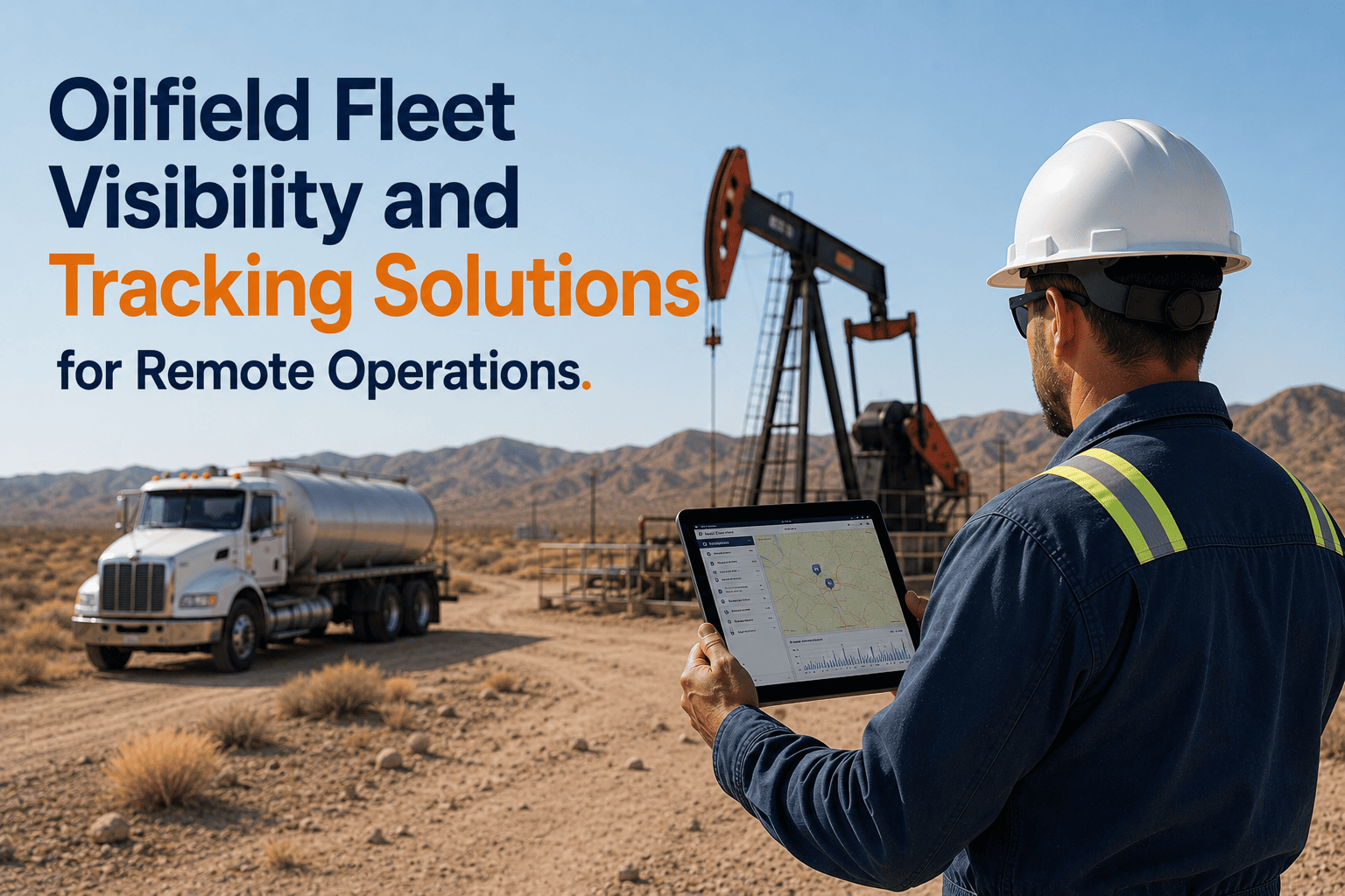
Fleet visibility in oilfield remote operations is not a convenience feature — it is the foundational requirement from which every other fleet management capability depends. A fleet manager who cannot see where their vehicles are cannot schedule maintenance around actual operational status, cannot identify when a driver is approaching hours-of-service limits before the violation has already occurred, cannot respond to a breakdown event at an exact wellsite location, cannot provide the GPS-verified route evidence that PHMSA compliance auditors require for pipeline patrol records, and cannot generate the real-time executive report that the VP of Operations needs before a capital allocation meeting that afternoon. The visibility gap in oilfield fleet operations is more severe than in highway commercial transport because the geographic and connectivity conditions that define oilfield environments — remote Basin locations beyond cellular coverage, unmapped lease road networks, wellpads without addresses in any commercial mapping database — are precisely the conditions where standard commercial fleet tracking systems fail. GPS tracking platforms built on cellular transmission and commercial mapping APIs do not malfunction when they encounter a Permian Basin lease road 80 miles from the nearest paved highway — they simply report no data, as if the vehicle had disappeared. For fleet managers responsible for assets operating in these conditions, the absence of data is indistinguishable from the absence of the vehicle, and both produce the same operational consequence: management decisions made without the real-time situational awareness that would allow them to be made better. FleetRabbit's oilfield fleet visibility platform was designed for these conditions from its foundation — using dual-mode connectivity with Iridium satellite fallback for continuous GPS coverage at all Basin locations regardless of cellular infrastructure, accepting coordinate-based wellpad locations that commercial mapping databases do not recognise, and building the fleet-wide situational dashboard that gives fleet managers and operations executives the real-time visibility across every operational location that their decision-making requires. Book a demo to see FleetRabbit's real-time oilfield fleet visibility platform for your remote operations.
Oilfield Fleet Visibility and Tracking Solutions for Remote Operations
Standard GPS tracking platforms fail on oilfield lease roads — they lose signal the moment vehicles leave paved highways for wellpad access networks. FleetRabbit's dual-mode satellite tracking maintains continuous 30-second position updates at all remote Basin locations, including unmapped lease roads and wellpads beyond cellular infrastructure.
Why Standard GPS Tracking Platforms Fail to Deliver Fleet Visibility in Remote Oilfield Operations
Commercial GPS tracking platforms were designed for highway transport operations where cellular coverage is continuous, road networks are in commercial mapping databases, and vehicles operate near communication infrastructure. Oilfield remote operations share none of these assumptions.
Cellular Dead Zones Across Basin Interior Locations
Approximately 70% of active well locations in major North American producing basins are beyond reliable cellular coverage from major carriers. When a standard cellular-dependent GPS tracker loses network contact at the wellsite approach road, it stores position data locally and uploads it in a batch when connectivity is restored — sometimes hours later. The fleet manager sees a 4-hour gap in the vehicle's position history and cannot distinguish between a vehicle parked at a wellsite and a vehicle that has broken down on a remote lease road.
Unmapped Lease Road Networks Not in Commercial Mapping Databases
Permian Basin, Bakken Shale, and Eagle Ford lease road networks are not in Google Maps, HERE, or any commercial mapping database used by standard fleet tracking platforms. Dispatchers cannot route vehicles to wellpad locations that the mapping system does not recognise. Geofence alerts cannot be set for pads that have no map coordinates in the commercial database. ETA calculations cannot be performed for routes that the routing engine cannot navigate.
No GPS Verification of Inspection Location for Regulatory Evidence
FMCSA compliance reviewers and PHMSA pipeline patrol auditors increasingly require GPS-verifiable location evidence that inspection records were completed at the correct site rather than backdated at the office. Paper DVIR forms and inspection records that lack GPS coordinates provide no location evidence. Standard cellular GPS trackers that lost contact at the remote site provide intermittent position histories that cannot definitively place the vehicle at the inspection location at the time the record was created.
No Emergency Coordination Capability Beyond Cellular Range
When a breakdown event, HAZMAT spill, or safety incident occurs at a remote wellsite beyond cellular coverage, the driver cannot transmit a GPS-precise location to emergency response coordinators, and the fleet manager cannot see the vehicle's position to direct recovery resources. Emergency coordinators dispatching recovery equipment cannot calculate optimal routes to an exact wellsite location that they cannot GPS-confirm — creating dangerous and expensive response delays.
Satellite Fallback. Coordinate-Based Wellpad Locations. GPS-Verified Records. SOS at Any Basin Location.
FleetRabbit's oilfield visibility platform addresses all four remote operation visibility failures — maintaining continuous GPS via Iridium satellite fallback, accepting GPS coordinates for unmapped lease road wellpad locations, producing GPS-timestamped inspection records for regulatory evidence, and routing SOS alerts via satellite from any Basin location without cellular infrastructure.
Six Fleet Visibility Capabilities That Oilfield Remote Operations Require
Continuous Satellite GPS — Zero Coverage Gap Including Lease Roads
FleetRabbit uses dual-mode connectivity — cellular primary where available, Iridium satellite fallback where cellular infrastructure ends. The transition from cellular to satellite is automatic and instantaneous — there is no delay, no data gap, and no operator configuration required. Position updates continue at 30-second intervals regardless of whether the vehicle is on a paved state highway or on an unmapped caliche lease road 80 miles from the nearest cell tower.
Coordinate-Based Wellpad Geofencing — No Commercial Mapping Required
FleetRabbit accepts GPS coordinate pairs (latitude/longitude) for any wellsite or pad location — enabling geofence configuration, arrival and departure logging, and dispatch routing to locations that do not appear in any commercial mapping database. New pad locations are added in minutes as drilling programmes advance — no mapping update cycle, no vendor database refresh, no manual workaround required.
GPS-Timestamped Inspection Records — Regulatory Evidence Standard
FleetRabbit's mobile inspection app captures GPS coordinates from the device's location sensor at the moment of each inspection — creating a GPS-timestamped record that proves the inspection was conducted at the wellsite location at the time the record indicates, satisfying the evidentiary standard that FMCSA 49 CFR Part 396.11 inspection records and PHMSA 49 CFR Part 195 pipeline patrol records require. These records cannot be backdated, location-modified, or submitted for a location other than where the inspection occurred.
SOS Alert Routing via Satellite — Emergency Coordination from Any Basin Location
FleetRabbit's SOS capability transmits emergency alerts including GPS-precise coordinates via Iridium satellite from any Basin location — regardless of cellular coverage status. When a driver activates SOS at a remote wellsite beyond cellular range, the alert reaches the configured emergency response chain (fleet manager, HSE coordinator, operations supervisor) within minutes with the exact GPS coordinates of the vehicle, vehicle identity, driver identity, and timestamp.
Fleet-Wide Executive Dashboard — Real-Time Visibility from Wellsite to Headquarters
FleetRabbit's executive visibility dashboard displays every vehicle in the fleet on a unified map — position, operational status (active/transit/idle/standby/maintenance hold), vehicle health score, driver certification status, and open alert flags — updating every 60 seconds without requiring supervisor data consolidation or field check-in calls. Operations VPs managing 50 or 500 vehicles across multiple Basin districts see the same complete fleet picture as the dispatcher managing individual assignment decisions.
Route Deviation and Zone Compliance Alerts — HAZMAT Restriction Verification
FleetRabbit's geofence and route monitoring capabilities verify that HAZMAT vehicles follow approved routes, that drivers do not enter restricted zones without authorisation, and that pipeline patrol vehicles complete the required right-of-way traversal rather than completing a shorter route that passes near the right-of-way without actually covering it. Route deviation alerts fire when a vehicle leaves a configured corridor — even on roads with no commercial mapping equivalent, using GPS corridor boundaries drawn directly on the platform map.
What Real-Time Fleet Visibility Delivers at Each Level of Oilfield Operations Management
Dispatchers see GPS position, operational status, driver HOS remaining time, vehicle health score, and certification status for every vehicle — live, without phone calls or radio check-ins. Sand hauler dispatch coordinators calculate accurate wellpad ETAs from actual GPS positions on lease road networks, adjust delivery sequencing based on real wellpad dwell times, and identify HOS approaching-limit situations 90 minutes before they become violations. Service truck dispatchers assign the nearest available certified asset to each emergency request within seconds of the request arriving.
Fleet managers see fleet-wide utilisation rates, open maintenance alerts, driver safety score distribution, and compliance certification status from a single dashboard that updates continuously. Developing situation awareness issues — a vehicle off-route, a driver with an approaching HOS limit, a vehicle with an active fault alert dispatched to a remote location — are visible within minutes rather than discovered retrospectively when consequences have already materialised. The 22 hours per week that manual data consolidation previously consumed is returned to operational management and proactive intervention.
Operations executives receive automated weekly fleet performance digests covering fleet availability rates, maintenance cost trends, compliance scores by district, driver safety event frequency, and fuel consumption variance by site — delivered without requiring field supervisor data consolidation or manual report preparation. The executive who sees that three vehicles across different Basin locations are simultaneously developing high-risk fault patterns can make a proactive maintenance decision that prevents three concurrent pad breakdowns from disrupting an active drilling programme before a field supervisor is even aware the risk exists.
Deploy Complete Fleet Visibility Across Your Remote Oilfield Operations — Including Wellsites Beyond Cellular Coverage
FleetRabbit provides continuous satellite GPS tracking at all remote Basin locations, coordinate-based wellpad geofencing, GPS-timestamped inspection records, satellite SOS alerts, executive real-time dashboards, and HAZMAT route verification — deployed across your oilfield fleet in 5–7 working days at $3/vehicle/month. The fleet that is always visible is the fleet that can always be managed.







