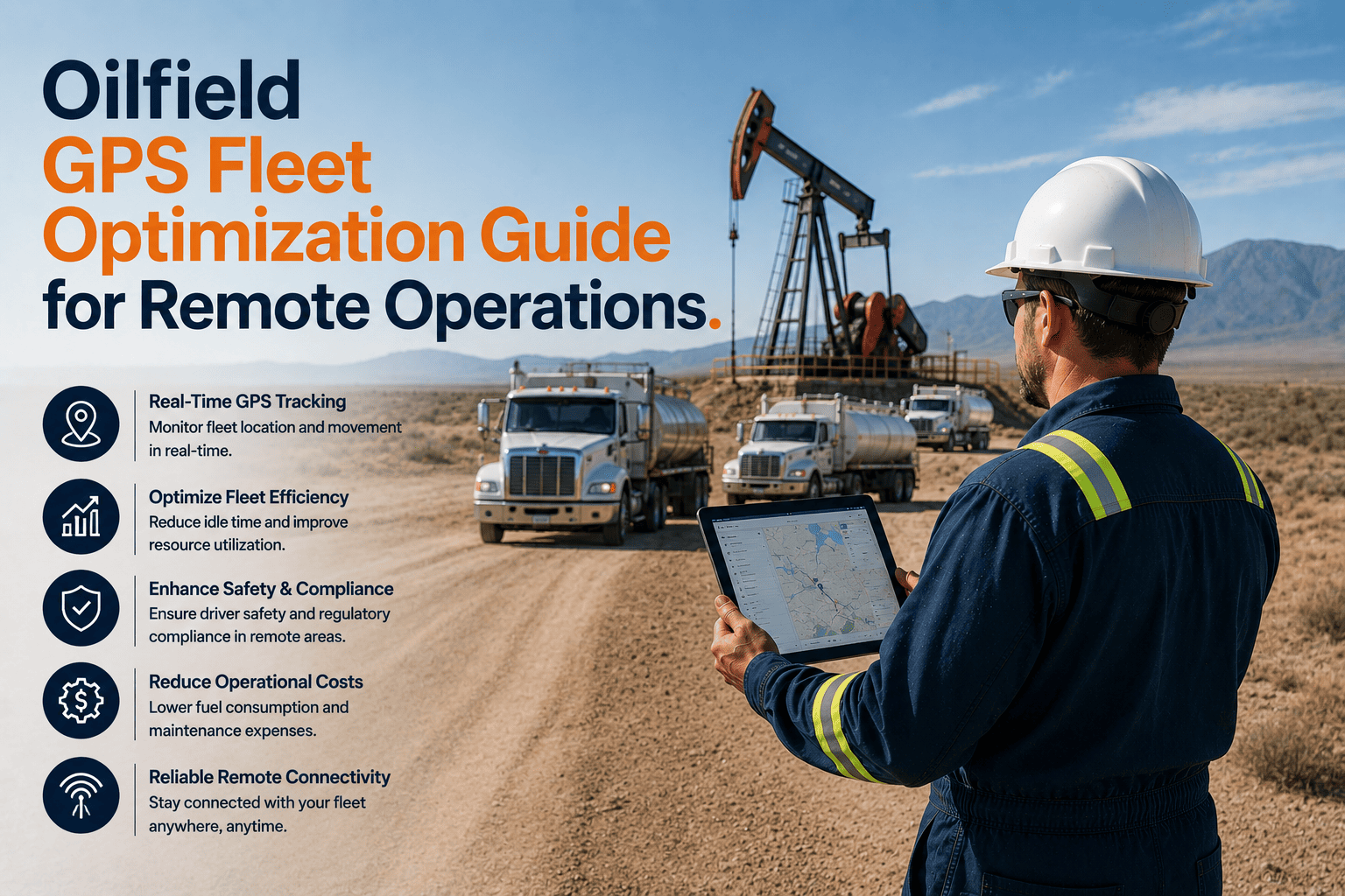
GPS fleet optimisation in oilfield remote operations is a fundamentally different discipline than GPS fleet management in highway commercial transport — not because the technology is different, but because the operating environment invalidates every assumption on which standard GPS fleet management is built. Highway fleet GPS optimisation assumes that road networks are mapped, that vehicles are within cellular coverage at all times, that trips begin and end at the same facility, and that operational coordination occurs through digital communication rather than wellsite radio or satellite phone. Oilfield remote operations share none of these assumptions: vehicle positioning data transmitted via cellular network disappears at the wellsite approach road boundary, wellpad destinations that are 6 months old cannot be entered into commercial mapping systems, completion crew coordination across a 12-vehicle pad deployment requires fleet intelligence tools that know the difference between a frac truck parked at Wellpad 14-C during a pump test and the same vehicle broken down on Lease Road 7 — both show as stationary on a generic GPS dashboard. GPS fleet optimisation for oilfield operations requires a platform built on satellite-first connectivity that maintains contact beyond cellular boundaries, coordinate-based wellpad configuration that operates without commercial mapping database support, and multi-variable operational intelligence that interprets GPS position data in the context of shift schedules, driver hours, vehicle health, and cargo classification simultaneously. FleetRabbit was architected for these conditions from its foundation — delivering the GPS fleet optimisation capabilities that oilfield remote operations require at $3/vehicle/month with no connectivity compromise at any Basin location. Book a demo to see FleetRabbit GPS fleet optimisation for your oilfield remote operations.
Oilfield GPS Fleet Optimization Guide for Remote Operations
GPS fleet optimisation for oilfield remote operations requires satellite-first connectivity, coordinate-based wellpad configuration, and multi-variable operational intelligence — not standard commercial GPS tools that lose contact at the wellsite gate. FleetRabbit delivers all three at $3/vehicle/month across any Basin location.
Five GPS Optimisation Failures in Oilfield Remote Operations — and the Platform Capabilities That Correct Each One
Cellular Coverage Failure at Remote Wellsite Locations
70% of active well locations in major North American producing basins are beyond reliable cellular coverage. Standard cellular-dependent GPS trackers store position data locally and batch-upload when connectivity returns — sometimes hours later — producing GPS position histories with 2–6 hour gaps that make real-time fleet management impossible at the locations where management most matters.
Iridium satellite fallback activates automatically when cellular coverage ends — maintaining 30-second position updates continuously at all remote wellsite and lease road locations. No configuration, no operator action, no data gap. Every vehicle is visible at all times regardless of distance from cellular infrastructure.
Unmapped Lease Road Destinations Not in Commercial Databases
Commercial mapping APIs used by standard fleet GPS platforms have no knowledge of lease road networks built for drilling programmes. Dispatchers cannot route vehicles to wellpad destinations, calculate ETAs for lease road transit, or set geofence arrivals at pad locations that the mapping system doesn't recognise — limiting GPS optimisation to paved road operations.
GPS coordinate pairs configure any wellsite destination regardless of commercial mapping status — enabling geofence arrival zones, route corridor monitoring, and ETA calculation for unmapped lease road networks. New pad locations added in minutes as drilling programmes advance to new sites.
GPS Position Without Operational Context — Stationary Vehicle Interpretation
A frac truck stationary at a remote location for 4 hours is either supporting an active well operation or has broken down on a lease road. Standard GPS shows both as a stationary vehicle at GPS coordinates — with no interpretation capability that distinguishes operational wellsite activity from a breakdown requiring emergency response.
GPS position is cross-referenced with engine status, wellpad geofence registration, shift schedule, and AI vehicle health score — enabling operational interpretation that distinguishes wellsite work from breakdown, scheduled pad dwell from unexpected delay, and authorised after-hours positioning from unauthorised usage.
Satellite Connectivity · Coordinate Routing · AI Operational Intelligence · All at $3/Vehicle/Month
FleetRabbit's oilfield GPS optimisation platform delivers satellite-first connectivity, coordinate-based wellpad routing, multi-variable position intelligence, real-time executive dashboards, and HAZMAT route verification — deployed in 5–7 days with API integration for existing telematics hardware.
Six GPS Fleet Optimisation Capabilities That Drive Measurable Oilfield Operational Improvement
Nearest-Asset Dispatch From Real-Time Position Data
Real-time GPS positions across all fleet vehicles enable nearest-available-asset identification at the moment of any service request — eliminating the suboptimal assignments that phone-call position estimation produces. 32% suboptimal assignment rates decline to under 6% within 30 days as dispatchers replace estimation with GPS-based selection. Empty transit miles reduce 11–15% through systematic nearest-asset identification.
Route Deviation Detection Including HAZMAT Restriction Corridors
Route corridor monitoring triggers alerts when vehicles leave configured paths — including corridors on lease road networks without commercial mapping equivalent. HAZMAT tankers deviating from cargo-appropriate routes for their specific UN number trigger immediate dispatcher alerts. GPS route history provides PHMSA compliance evidence that vehicles observed applicable routing restrictions throughout transport operations.
Wellpad Dwell Time Monitoring for Delivery Sequence Optimisation
Geofenced wellpad arrival and departure logging provides dispatchers with real-time dwell times at each delivery point — enabling detection of unloading delays creating convoy bunching before the cumulative delay produces wellpad standby costs. Sand hauler and produced water delivery sequences adjusted from actual dwell data rather than schedule assumptions reduce wellpad standby events 40–70%.
Fuel Consumption Cross-Reference With GPS Route and Engine Data
FleetRabbit cross-references fuel card transactions with GPS position at time of fill, route travelled since last fill, and engine-hour consumption data — identifying off-route fill events, consumption above route-distance expectations, and idle accumulation that explains fuel variance without reference to mileage assumptions that Basin duty cycles invalidate. 28% average fuel cost reduction at deployed oilfield fleets within 90 days.
HOS-Integrated Position Display for Pre-Dispatch Optimisation
Dispatcher view combines real-time GPS position with remaining drive time and on-duty hours for every driver — enabling route assignment that accounts for HOS constraints at point of dispatch rather than discovering violations at roadside. Drivers within 90 minutes of HOS limit flagged automatically before assignment. Sand hauler and produced water delivery scheduling built from actual HOS availability rather than shift schedule assumptions.
GPS-Verified Inspection Records for FMCSA and PHMSA Evidence
Every inspection record completed in FleetRabbit captures GPS coordinates from device sensor at point of completion — creating the location-verified inspection evidence that FMCSA Part 396.11 and PHMSA Part 195 pipeline patrol documentation require. GPS-timestamped records satisfying all regulatory evidence standards generated automatically as a byproduct of standard inspection workflow — no additional step or cost.
GPS Optimisation Outcomes at Each Level of Oilfield Operations Management
Real Assignment Control From Real Positions
Live GPS positions across all vehicles at all Basin locations — including lease roads and wellsites beyond cellular — enable dispatch decisions grounded in actual fleet state rather than estimated positions from last phone call. Nearest-asset identification, HOS-aware scheduling, and wellpad dwell monitoring replace estimation-based coordination with evidence-based operational management.
Continuous Fleet Visibility Without Status Call Burden
Fleet-wide GPS dashboard showing every vehicle position, operational status, vehicle health score, driver HOS remaining, and open alert flags — updated continuously without requiring supervisor radio calls or field check-in contact. Developing situations visible within minutes rather than discovered retrospectively through incident reports, gate refusals, or financial variance in monthly fuel statements.
Portfolio GPS Intelligence Without Manual Assembly
Automated weekly GPS performance digest — fleet utilisation rate, idle consumption by site, route efficiency variance, and compliance status — delivered without field supervisor data consolidation. Operations executives identify portfolio-level efficiency patterns across multiple Basin districts from fleet GPS data that updates continuously rather than arriving monthly in fuel card statements.
GPS-Verified Fuel Accountability From Route and Engine Data
Fuel consumption cross-referenced with GPS route data and engine-hour tracking provides finance teams with consumption attribution by vehicle, by route, and by site — enabling fuel budget construction reflecting actual Basin operational conditions rather than mileage-based models producing 25–40% systematic variance. Insurance evidence package from GPS safety records supports premium reduction submissions.
Deploy Satellite-First GPS Fleet Optimisation Across Your Oilfield Remote Operations — Including All Lease Roads and Wellsites
FleetRabbit delivers the GPS fleet optimisation capabilities that oilfield remote operations require — Iridium satellite fallback for continuous coverage, coordinate-based wellpad routing, multi-variable operational intelligence, HAZMAT route verification, GPS-verified inspection records, and executive real-time dashboards — deployed in 5–7 working days at $3/vehicle/month with no implementation fee and no hardware replacement for fleets with existing telematics.







