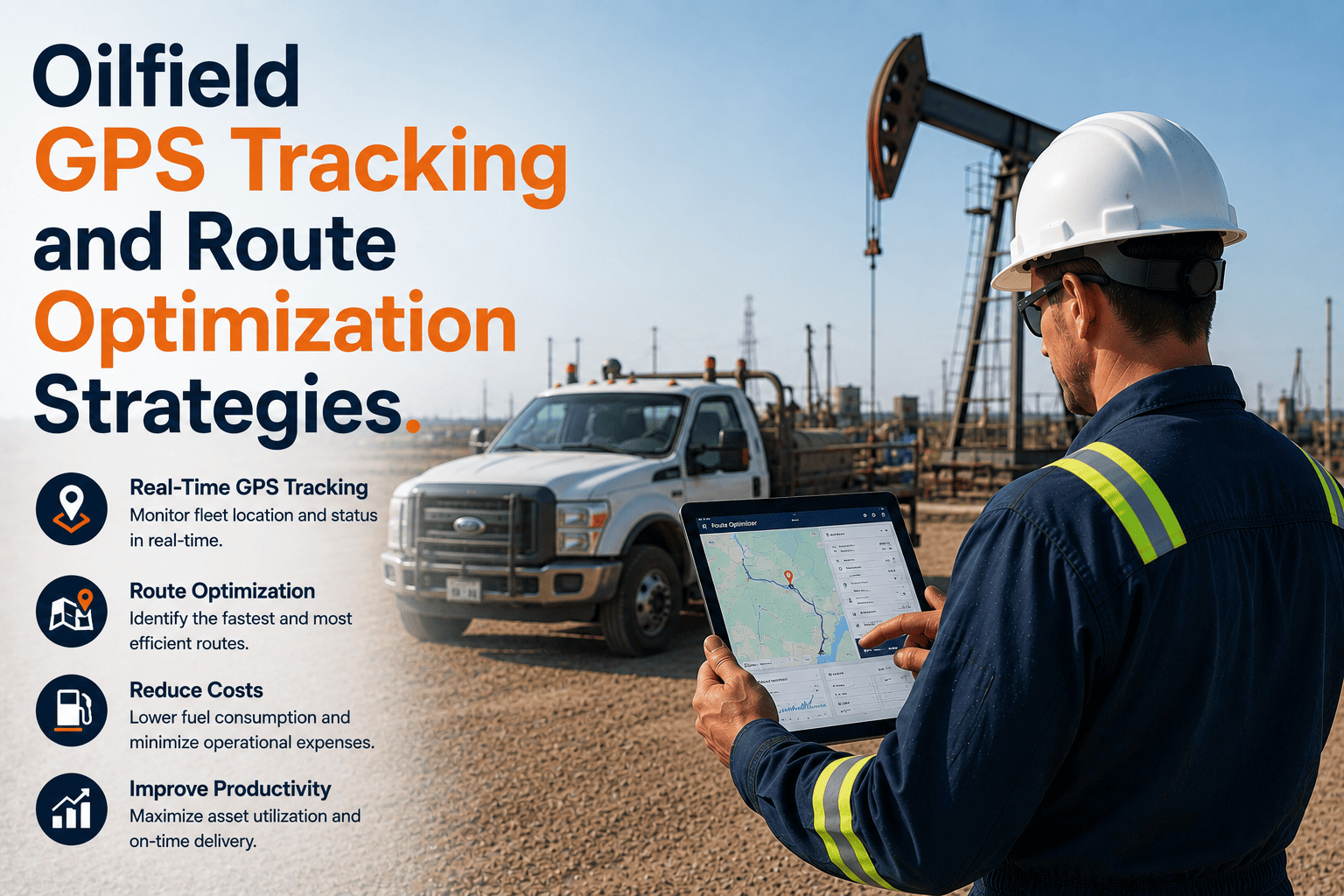
GPS tracking and route optimisation in oilfield fleet operations deliver outcomes that are categorically different from the outcomes these capabilities produce in highway commercial transport — because the operational problems they solve are categorically different. A highway transport fleet benefits from GPS tracking primarily through route efficiency on mapped road networks and driver behaviour monitoring on standardised routes. An oilfield fleet benefits from GPS tracking primarily through the elimination of the fleet visibility blackout that occurs every time a vehicle crosses from paved highway to private lease road — which in Permian Basin, Bakken Shale, and Eagle Ford operations typically happens within 20 minutes of leaving the yard and persists for the majority of the operational shift. The productivity loss, safety exposure, and compliance risk created by this visibility blackout are not marginal management inefficiencies — they are fundamental operational programme vulnerabilities that manifest as wellpad standby costs from inaccurate ETAs, emergency response delays from inability to pinpoint vehicle location at remote incident sites, PHMSA pipeline patrol compliance failures from absence of GPS-verified route traversal evidence, and FMCSA inspection citation exposure from paper DVIR records that cannot demonstrate inspection location. The route optimisation dimension carries an equally oilfield-specific character: lease road networks are not in any commercial mapping database, route restriction compliance for HAZMAT cargo classifications requires cargo-specific path validation that standard navigation cannot provide, and the economically optimal route between a tank battery and a custody transfer terminal may not be the shortest mapped distance but the combination of lease road segments that minimises total distance and maximises loaded tanker speed given road surface and gradient conditions that only GPS historical route data can reveal. FleetRabbit's oilfield GPS tracking and route optimisation platform was designed and deployed specifically for these conditions — providing the satellite connectivity, coordinate-based routing, multi-variable operational intelligence, and regulatory compliance documentation that oilfield GPS tracking requires and that standard commercial fleet telematics platforms cannot deliver at remote Basin operating locations. Schedule a demonstration to see how FleetRabbit GPS tracking and route optimisation performs for your specific Basin fleet operation.
Oilfield GPS Tracking and Route Optimization Strategies
Standard commercial GPS tracking loses contact at the wellsite gate. FleetRabbit maintains satellite-first GPS contact at all Basin locations — including remote lease roads, unmapped wellpads, and HAZMAT transport corridors — providing the fleet visibility and route intelligence that oilfield operations require where standard telematics consistently fails.
Why Standard GPS Tracking Fails for Oilfield Remote Operations — and What FleetRabbit Provides Instead
Iridium Satellite Fallback — Zero Coverage Gap
Automatic transition to Iridium satellite connectivity when cellular coverage ends — maintaining 30-second position updates at all Basin locations without any configuration or operator intervention. No data gap from well approach road to wellpad to lease road return.
GPS Coordinate Wellpad Configuration
Any wellsite or pad location configured via GPS coordinates — enabling geofenced arrivals, ETA calculations, and route corridor monitoring for unmapped lease road destinations without commercial mapping database support. New locations added in minutes as drilling programmes advance.
GPS-Timestamped Tamper-Evident Compliance Records
Every inspection record and route event GPS-timestamped at point of occurrence — providing the location-verified regulatory evidence that FMCSA, PHMSA, and client operator HSE auditors require. Records cannot be backdated or location-modified after creation.
Multi-Variable GPS Intelligence
GPS position cross-referenced with engine status, shift schedule, driver HOS, vehicle health, and cargo classification — converting position data from a dot on a map into operational intelligence that drives dispatch decisions, safety interventions, and compliance enforcement simultaneously.
Complete GPS Fleet Visibility Across All Basin Locations — Lease Roads, Wellpads, Remote Staging Areas
FleetRabbit deploys satellite-first GPS tracking with coordinate-based wellpad routing, HAZMAT route restriction validation, GPS-verified compliance records, and real-time executive dashboards — all at $3/vehicle/month with 5–7 day deployment and API integration for existing telematics hardware without replacement cost.
Five Route Optimisation Strategies That FleetRabbit GPS Data Enables for Oilfield Fleets
Nearest-Asset Dispatch From GPS-Confirmed Positions
Real-time satellite GPS positions across all fleet vehicles enable nearest-available-asset identification at every dispatch decision point — including at vehicles already at remote wellsite locations. Eliminates the suboptimal assignment pattern where dispatchers bypass closer assets because their position is estimated rather than confirmed, reducing empty transit miles 13–15% at deployed fleets.
Lease Road Network Route Analysis and Correction
GPS route history from satellite-connected vehicles at all lease road locations provides the first fleet-wide view of actual delivery routes — identifying recurring suboptimal path patterns where drivers self-select longer routes through unmapped networks. FleetRabbit documented 8–16 recurring inefficient route patterns at deployed Basin fleets, with systematic correction reducing transit mileage 11–14% fleet-wide.
Wellpad Dwell Time Monitoring and Sequence Optimisation
Geofenced wellpad arrivals provide real-time dwell times at each delivery location — enabling detection of unloading delays creating convoy bunching before the cumulative delay produces wellpad standby costs. Sand hauler and produced water delivery sequences adjusted from actual GPS dwell data rather than schedule assumptions reduce standby events 40–70% at completion-intensive Basin operations.
HAZMAT Route Restriction Validation — Cargo-Specific Compliance
FleetRabbit validates route compliance against cargo-specific restrictions for crude oil tankers, produced water haulers, and chemical delivery vehicles — applying UN number and hazard class routing requirements rather than generic HAZMAT flags. GPS route history provides PHMSA-required evidence that cargo-appropriate routes were followed throughout transport, exportable as part of HAZMAT documentation package for roadside inspection and regulatory audit.
Pipeline Patrol Route Compliance and PHMSA Documentation
PHMSA 49 CFR Part 195 requires GPS-verifiable evidence that patrol vehicles actually traversed required right-of-way segments — not simply that patrol was assigned and reportedly completed. FleetRabbit configures geofenced right-of-way corridors, records GPS-verified observation point arrivals, and generates complete PHMSA patrol audit documentation within 2 hours of any inspection request from tamper-evident satellite-tracked route data.
HOS-Integrated Route Planning and Pre-Dispatch Constraint Checking
Dispatcher view combines real-time GPS vehicle positions with remaining driver HOS for every active driver — enabling route assignments that account for hours availability before dispatch rather than discovering violations at roadside. Assignments where route duration would exceed driver HOS remaining are automatically flagged before the assignment is made, preventing the mid-route violations that produce $1,000–$16,000 FMCSA citations and stranded loads at remote locations.
FleetRabbit GPS Tracking Capabilities Across Every Oilfield Operating Scenario
Dual-Mode Connectivity — Cellular Plus Iridium Satellite
FleetRabbit uses cellular connectivity where available and transitions automatically to Iridium satellite fallback when cellular coverage ends — maintaining 30-second position updates at all remote wellsite and lease road locations. The transition is instantaneous and automatic. Dispatchers see continuous vehicle positions for all fleet vehicles regardless of location in the Basin operational territory, with no GPS blackout periods from wellsite approach road to wellpad to remote staging area.
Coordinate-Based Wellpad and Lease Road Configuration
FleetRabbit accepts GPS coordinate pairs for any location regardless of commercial mapping database status — enabling geofence arrivals, route corridor monitoring, and ETA calculations for unmapped lease road wellpad destinations. Oilfield operators configure new pad locations in minutes as drilling programmes advance to new areas, with all GPS-based features (arrivals, departures, route corridors, dwell times) active immediately without any mapping database update cycle or vendor refresh process.
Route Deviation Detection Including Unmapped Lease Road Corridors
FleetRabbit generates alerts when vehicles leave configured route corridors — including corridors drawn directly on the platform map using GPS coordinates for unmapped lease road networks. HAZMAT tankers deviating from cargo-appropriate routes trigger immediate dispatcher alerts with vehicle position and deviation distance. Route compliance history retained for PHMSA audit evidence demonstrating that applicable routing restrictions were observed throughout cargo transport operations.
Emergency Position and SOS Routing via Satellite
FleetRabbit transmits SOS alerts with GPS-precise coordinates via Iridium satellite from any Basin location — regardless of cellular coverage. When a driver activates SOS at a remote wellsite, the alert reaches the configured emergency response chain within minutes with exact GPS coordinates, vehicle identity, driver identity, and timestamp. Emergency responders navigate to GPS coordinates rather than landmark descriptions, reducing response time and eliminating the location uncertainty that makes remote wellsite emergency response hazardous.
GPS Tracking and Route Optimisation Intelligence for Every Level of Oilfield Fleet Leadership
Dispatchers using FleetRabbit see live GPS positions for all fleet vehicles simultaneously — including at remote lease road and wellsite locations — enabling nearest-asset identification, accurate ETA calculation from actual GPS position rather than departure time estimates, and real-time delivery sequence adjustment when unplanned delays affect individual vehicles. Sand hauler dispatch coordinators see current wellpad dwell times for every truck in the delivery rotation, enabling adjustment before wellpad standby begins accumulating rather than after the programme has already been disrupted.
Fleet managers using FleetRabbit see every vehicle's GPS position, operational status, vehicle health score, driver HOS remaining, and open alert flags — live, without status calls or field check-ins. Route deviation alerts identify HAZMAT vehicles off approved corridors within seconds of deviation. Delivery sequence delays visible in real time enable proactive customer communication before commitment misses become customer satisfaction events. The 18–22 hours of weekly position-related phone call time eliminated is recovered for operational management.
Operations VPs receive automated weekly GPS performance digests — fleet-wide utilisation rate, route efficiency variance by district, idle rate trends by site, and delivery sequence accuracy — without requiring field supervisor data assembly or manual report preparation. GPS route data enables the geographic analysis of fleet performance patterns across Basin districts that was previously impossible without systematic route tracking data covering the lease road networks where oilfield operations actually operate.
HSE directors using FleetRabbit access GPS-verified compliance records for any vehicle and any period within 2 hours of any enforcement contact — FMCSA inspection histories, PHMSA patrol route evidence, HAZMAT routing compliance records, and incident reconstruction data. The tamper-evident GPS records that FleetRabbit generates automatically as a byproduct of normal fleet operations are precisely the evidentiary quality that FMCSA compliance reviews, PHMSA audits, and civil litigation require.







