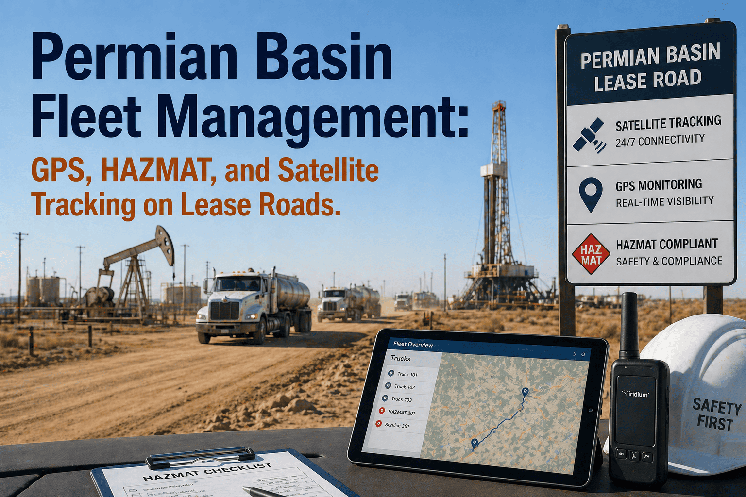
The Permian Basin is the most active and most demanding oilfield fleet operating environment in North America — spanning 86,000 square miles of West Texas and southeastern New Mexico, with over 500 active drilling rigs, thousands of producing wells, and a road network dominated by unmapped caliche and gravel lease roads that do not appear on commercial mapping platforms, are inaccessible to standard routing databases, and change configuration every time a new pad is constructed or an existing road is graded for seasonal conditions. Fleet managers dispatching frac crews, water haulers, crude oil tankers, wireline units, and service trucks across the Permian Basin are operating in an environment where standard commercial fleet management software fails systematically: GPS tracking loses contact when vehicles leave paved highways, HAZMAT routing tools have no knowledge of Permian Basin lease road restrictions, mileage-based maintenance schedules cannot account for the engine-hour accumulation rates that Basin operations impose on heavy equipment, and offline mobile inspection capability is not a nice-to-have feature — it is a fundamental requirement for any inspection process to work at all across a basin where cellular coverage gaps are measured in hundreds of square miles. FleetRabbit's fleet management platform was purpose-built for oilfield fleet operations — and specifically validated across Permian Basin operating conditions including lease road GPS tracking, satellite fallback connectivity, offline DVIR capability, HAZMAT routing for crude oil and produced water transport, and engine-hour PM scheduling calibrated for Basin duty cycles. This article details the specific operational challenges of Permian Basin fleet management and the FleetRabbit capabilities that address each one. Book a demo to see FleetRabbit's Permian Basin fleet management platform in operation.
Permian Basin Fleet Management: GPS, HAZMAT, and Satellite Tracking on Lease Roads
Standard fleet software fails in the Permian Basin because it was built for highways. FleetRabbit manages frac fleets, water haulers, crude tankers, and service trucks across 86,000 square miles of unmapped lease roads — with satellite GPS, offline DVIR, oilfield HAZMAT routing, and engine-hour maintenance scheduling purpose-built for Basin duty cycles.
Why Standard Fleet Management Software Fails in Permian Basin Operations
The Permian Basin is not a harder version of highway fleet management. It is a categorically different operating environment that exposes the architectural assumptions underlying most commercial fleet platforms — assumptions that do not hold in Basin conditions.
Unmapped Lease Road Networks
Permian Basin lease roads are not in Google Maps, HERE, TomTom, or any commercial mapping database. They are constructed by operators and service companies on a rolling basis as pad development progresses, graded and regraded based on seasonal conditions and traffic volume, and frequently change routing as production facilities are expanded or abandoned. Standard fleet platforms that rely on commercial mapping APIs for routing, geofencing, and ETA calculation cannot function on lease roads because the road network they require does not exist in the databases they access. Dispatchers using these platforms cannot route vehicles to wellsite locations that their mapping system does not recognise — and cannot draw meaningful geofences around pad locations that the system has no coordinates for.
Cellular Coverage Gaps Across Basin Interior
Approximately 70% of active well locations in the Permian Basin are beyond reliable cellular coverage from major carriers. Standard fleet telematics platforms that rely on cellular connectivity for GPS data transmission lose contact with vehicles the moment they leave paved state and county roads for lease roads heading toward pad locations. Fleet managers using cellular-only platforms see their vehicles disappear from the tracking display for hours at a time — during exactly the periods when the vehicles are at their most isolated and when breakdown events are most expensive to recover from. Offline capability is not a feature specification item on a requirements checklist — it is a baseline functional requirement for any platform to provide meaningful visibility in Basin operations.
Mileage-Based Maintenance Schedules Miss Basin Duty Cycles
A frac truck operating on a Permian Basin wellpad accumulates engine hours at 4–5 times the rate assumed by manufacturer mileage-based service intervals — because the vehicle is running continuously at high load while pumping, with odometer barely advancing during the same period. A fleet platform scheduling maintenance at 12,500-mile intervals for a frac truck that drives 40 miles per day but runs 20 hours per day is scheduling maintenance at intervals that will be exceeded by 300–400% before the odometer trigger is reached. Unplanned breakdown costs in the Permian Basin — including recovery from remote pad locations, expedited parts logistics across Basin geography, and drilling programme delay when frac equipment is not available — make mileage-based PM scheduling one of the most expensive hidden costs in Basin fleet operations.
HAZMAT Documentation Gaps for Produced Water and Crude Transport
Permian Basin produced water transport and crude oil hauling operate under simultaneous HAZMAT compliance obligations — FMCSA commercial driver HOS and DVIR requirements, DOT PHMSA hazardous materials shipping paper obligations for classified loads, state Railroad Commission environmental transport permit conditions, and NORM documentation requirements when produced water from certain Basin formations contains radioactive material concentrations that trigger additional documentation and disposal facility restrictions. Generic fleet platforms that support a HAZMAT flag on a vehicle record without configuring cargo-specific document generation, routing restriction databases, and driver certification cross-reference are providing the appearance of HAZMAT compliance capability without the substance that survives a TxDOT or FMCSA roadside inspection.
Satellite GPS, Offline DVIR, Engine-Hour PM, and HAZMAT Documentation — All in One Platform
FleetRabbit addresses every structural failure mode of standard fleet platforms in Permian Basin conditions — satellite fallback for lease road tracking, fully offline mobile inspections, engine-hour PM scheduling for Basin duty cycles, and cargo-specific HAZMAT document generation. Deployed in 5–7 working days at $3/vehicle/month.
How FleetRabbit Addresses Each Permian Basin Fleet Management Requirement
Satellite GPS Tracking on Unmapped Permian Basin Lease Roads
FleetRabbit maintains continuous GPS tracking across all Permian Basin lease road networks using dual-mode connectivity — cellular primary where coverage exists, Iridium satellite fallback where it does not. Vehicle position updates every 30 seconds regardless of cellular coverage status. The FleetRabbit dispatch map accepts GPS coordinates directly for wellsite and pad locations that do not appear on commercial mapping databases — enabling dispatchers to assign vehicles to unmapped pad locations using coordinate-based geofences drawn directly on the platform map interface. Route deviation alerts fire when a vehicle leaves a designated lease road corridor — even on roads with no commercial mapping equivalent — using GPS corridor boundaries configured by the fleet manager at deployment.
Offline Mobile DVIR for Wellsite Inspections Without Cellular Coverage
FleetRabbit's mobile DVIR application operates fully offline — storing inspection forms, photo evidence, defect findings, GPS coordinates, and electronic signatures locally on the driver's device without requiring any network connection during the inspection process. Drivers arriving at remote Permian Basin wellsite locations complete pre-trip and post-trip inspections on the FleetRabbit mobile app with the same full functionality available at a yard with WiFi coverage. All inspection data is timestamped at the moment of collection — not at the moment of sync — providing the regulatory evidence standard required by FMCSA 49 CFR Part 396 for inspection records collected at remote sites. When the vehicle returns to an area with cellular or WiFi coverage, all inspection data syncs automatically to the FleetRabbit central database with no driver action required.
Engine-Hour PM Scheduling for Permian Basin Frac and Service Fleet Duty Cycles
FleetRabbit replaces mileage-based PM schedules with engine-hour triggers calibrated for Permian Basin duty cycles — configuring service intervals at 250, 500, and 1000 operating hours per vehicle type rather than at odometer milestones that are reached months after the corresponding engine-hour threshold has been exceeded. For frac trucks, fluid ends, and high-pressure pump systems that see the most extreme duty cycle exposure in Basin operations, FleetRabbit configures separate PM triggers for vehicle drivetrain maintenance and process equipment maintenance — recognising that the pump's fluid end requires inspection at 250 engine hours regardless of what the truck's odometer shows. AI-driven predictive fault monitoring from OBD-II data supplements the scheduled PM programme — identifying developing fault patterns 3–6 weeks before failure based on vehicle-specific baselines calibrated for Basin operating conditions.
HAZMAT Documentation for Permian Basin Produced Water and Crude Oil Transport
FleetRabbit generates the complete HAZMAT documentation package for every Permian Basin produced water and crude oil load before the vehicle leaves the wellsite — FMCSA-compliant PHMSA hazardous materials shipping papers with UN number and hazard class for classified loads, Texas Railroad Commission environmental transport permit documentation, NORM classification records for produced water loads from formations with elevated radioactivity concentrations, and driver dangerous goods certification cross-reference confirming the assigned driver holds current certification for the cargo class being transported. Approved disposal facility routing is configured per waste stream classification — preventing dispatch of produced water loads to disposal wells not authorised for that specific waste characterisation under Texas Railroad Commission permit conditions.
What FleetRabbit Delivers for Permian Basin Operations Directors and Fleet Executives
For VP-level and C-suite operations leaders managing Permian Basin fleet programmes, FleetRabbit provides the executive intelligence layer that converts raw field data into the strategic visibility required for Basin-scale operational decision-making.
Real-Time Basin-Wide Fleet Visibility
Every vehicle across every Permian Basin lease road, pad location, and highway corridor — visible on a single executive dashboard with real-time GPS position, certification status, open defect flags, and maintenance alert indicators. No manual status consolidation from field supervisors at multiple pad locations. Data refreshes every 30 seconds including vehicles at remote satellite-coverage locations.
FMCSA and TxDOT Audit Evidence on Demand
Complete audit packs — DVIR records, driver certification histories, HAZMAT shipping paper logs, maintenance work orders, and incident documentation — generated in under 2 hours for any audit period and any asset range. The same documentation that takes 3–5 days to retrieve from paper archives across Basin-distributed operations is produced automatically from the FleetRabbit compliance database.
Drilling Programme Continuity Through Predictive Maintenance
FleetRabbit's AI engine identifies frac truck and service vehicle fault patterns 3–6 weeks before failure — enabling scheduled grounding and service during planned downtime windows rather than emergency pad evacuation and parts mobilisation across Basin geography. Operations directors receive automated alerts when any vehicle in the Basin fleet reaches the configured risk threshold before it affects an active drilling or completion programme.
Insurance Premium Reduction Through Verified Compliance Records
Permian Basin fleet operations carry substantial insurance exposure from HAZMAT transport, remote location breakdowns, and high-cycle heavy equipment operation. FleetRabbit's telematics-verified maintenance records, DVIR histories, and compliance documentation average a 22% insurance premium reduction at policy renewal when presented as primary evidence of systematic risk management to carrier underwriters.
Purpose-Built for Permian Basin Operations: Satellite GPS, Offline DVIR, Engine-Hour PM, and HAZMAT Compliance in One Platform
FleetRabbit deploys satellite GPS tracking, offline mobile DVIR, engine-hour maintenance scheduling, oilfield HAZMAT documentation, driver certification tracking, and executive compliance dashboards on your Permian Basin fleet in 5–7 working days. At $3/vehicle/month, the platform pays for itself with the first prevented remote pad breakdown.







