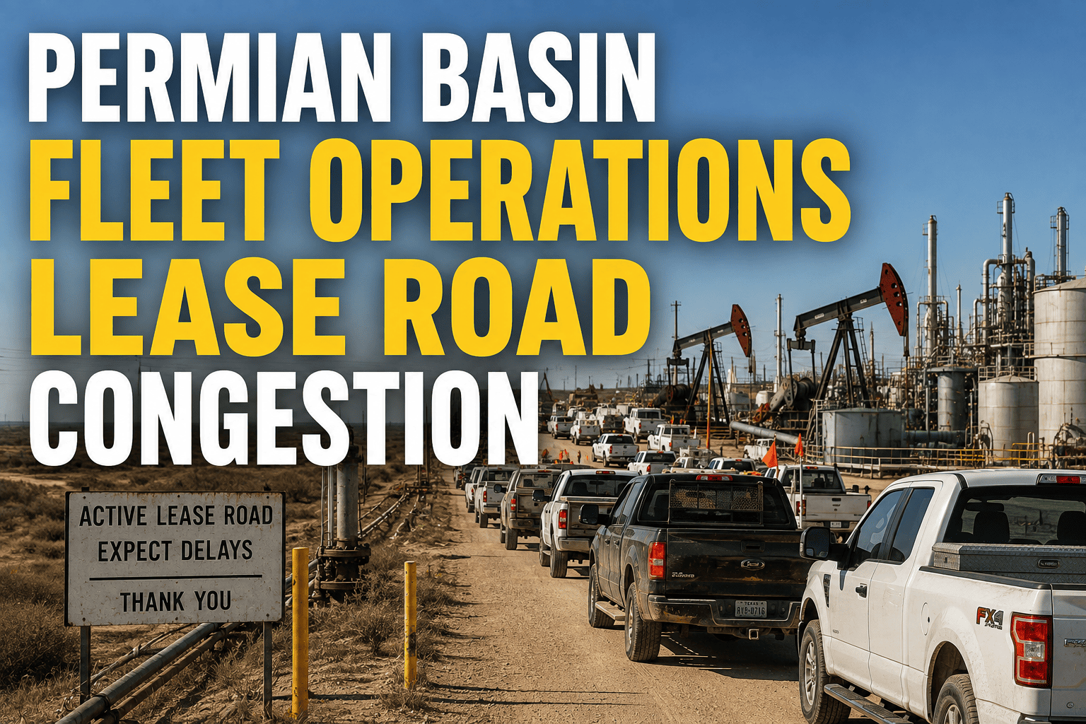
The Permian Basin moves more trucks per square mile than almost anywhere else in the United States. Sand haulers, water trucks, crew vehicles, and midstream tankers all share the same narrow lease roads, and that density is now the single biggest threat to schedule reliability in West Texas and southeastern New Mexico. Fleet managers who used to plan routes around distance now have to plan around congestion windows, multi-operator traffic, and roads never built for 80,000-pound loads.
Permian crude output is on pace to reach roughly 6.6 million barrels a day, and most of that production still depends on trucks moving across shared, unpaved lease roads. Drilling density has packed more rigs, more haulers, and more third-party fleets onto the same corridors, turning routine dispatch decisions into real operational risk. Fleets using live GPS tracking and geofenced lease-road zones cut wait times and near-miss incidents dramatically compared with fleets still routing by radio and memory.
Why Lease Road Congestion Has Become a Permian-Wide Problem
Drilling density in the Permian Basin has climbed steadily as operators drill longer laterals from fewer surface locations, which sounds efficient on paper but concentrates enormous truck volume onto a small number of access points. A single multi-well pad can require hundreds of loads for sand, water, and equipment within a matter of weeks, and every one of those loads funnels through the same lease road that a dozen other companies are also using that day.
Add in commuter traffic, e-commerce delivery routes, and local residents sharing highway corridors like US 62/180 and NM 18, and dispatchers are no longer just managing distance and drive time. They are managing a live, unpredictable traffic environment where a stuck water truck three miles up the road can cascade into missed frac windows and idle rigs.
The Hidden Cost of Not Knowing Where Your Trucks Are
Fleet managers without real-time visibility often plan routes based on yesterday's conditions. In basin operations, that gap between planned and actual traffic is where the money leaks out. A truck sitting in a queue for ninety minutes because dispatch didn't know about a lease road closure is ninety minutes of paid labor and idle equipment producing zero revenue.
FleetRabbit gives Permian fleets live GPS visibility with automatic satellite fallback in zones with no cell coverage, so dispatchers always know where a truck is and how long a corridor has been backed up. Start a free trial today and put your first three vehicles on the map.
Where Permian Fleets Lose the Most Time
Congestion doesn't hit every part of a Permian operation equally. Some choke points cost far more than others, and knowing where to focus first makes the difference between a minor scheduling tweak and a full routing overhaul.
| Congestion Point | Typical Cause | Operational Impact | How Fleets Fix It |
|---|---|---|---|
| Single-Access Pad Sites | Multiple operators sharing one lease road entrance | Queuing, missed load windows, driver overtime | Geofenced staging zones with automated queue alerts |
| Highway Corridor Mixing | Oilfield haulers sharing high-speed roads with commuters | Increased accident risk, slower average speeds | Route optimization around peak commuter hours |
| Unpaved Road Deterioration | Heavy loads on roads not rated for industrial traffic | Reduced speeds, higher breakdown rates | Condition-based routing and maintenance alerts |
| Cell Coverage Gaps | Remote basin terrain far from towers | Lost dispatch communication, delayed rerouting | Satellite-fallback GPS tracking and messaging |
| Peak Season Surges | Multiple pads completing on overlapping timelines | Sudden traffic spikes, driver fatigue | Demand-based scheduling and load balancing |
Managing Drilling Density Without Losing Control of Your Schedule
As drilling density increases, the fleets that stay profitable are the ones that stop reacting to congestion and start planning around it. That shift usually comes down to three things: knowing exactly where every vehicle is, knowing which lease roads are backed up before a driver reaches them, and having a system that reroutes automatically instead of relying on radio chatter.
Geofencing Lease Roads and Wellsite Perimeters
Drawing digital boundaries around pad sites, lease road corridors, and restricted zones lets dispatch see the moment a truck enters or exits a congested area. Instead of guessing how long a queue has been building, fleet managers get an instant alert and can hold, reroute, or reassign a truck before it adds to the backup.
What Geofencing Catches That Manual Dispatch Misses
A driver stuck behind three other trucks at a single-access pad has no way to radio ahead if the queue started building an hour earlier from a different direction. Geofence alerts remove that blind spot entirely, giving dispatch a live picture of every zone at once rather than a patchwork of driver reports.
Coordinating Across Multiple Operators on Shared Roads
Many Permian lease roads serve more than one company at a time. Fleets that share basic routing data, even informally, avoid the worst pileups. Digital dispatch platforms make it easier to time deliveries around known high-traffic windows instead of everyone arriving at once.
Turning GPS Data Into Faster, Safer Routes
Raw location data is only useful if it changes how trucks actually move. FleetRabbit's dispatch tools convert live GPS and geofence activity into route suggestions that account for current lease road conditions, not just the shortest distance on a map. That means fewer trucks funneling into the same choke point at the same hour, and more predictable arrival times for every load.
Fleets that book a demo often start with a single high-traffic pad site or corridor, measure the queue times before and after geofencing goes live, then expand coverage basin-wide once the pattern proves out. It is a low-risk way to see the impact on a real route before rolling changes across an entire fleet.
FleetRabbit's geofencing and dispatch optimization tools flag backed-up lease roads in real time so drivers get rerouted instead of stuck. Book your demo and see how it works on your actual basin routes.
Frequently Asked Questions
Drilling density isn't slowing down, and neither should your fleet. FleetRabbit gives Permian operators live tracking, geofenced lease roads, and smarter dispatch so trucks keep moving instead of queuing. Start your free trial today, no credit card required.







