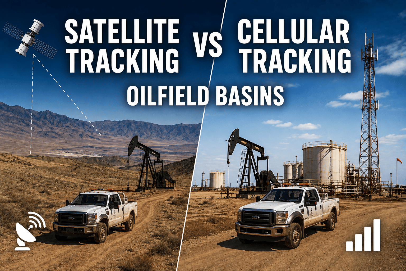
A crude tanker turns off the highway onto a lease road in the Permian Basin, and forty minutes later it vanishes from the dispatch dashboard. Not because anything went wrong with the truck, but because it drove past the last cell tower for eighty miles. This is the moment every oilfield fleet manager eventually runs into: cellular GPS tracking works flawlessly in town and fails completely at the wellsite. Deciding between satellite and cellular tracking, or building a system that uses both, determines whether your fleet stays visible during the hours that matter most.
Cellular tracking is cheaper and works well anywhere near towers, but it fails completely in remote basins beyond roughly 30 to 80 miles from coverage. Satellite tracking maintains visibility everywhere but costs significantly more on its own. Most oilfield operations run 40 to 70 percent of their operating hours beyond reliable cellular coverage, which is why a hybrid architecture that automatically switches between the two is the standard approach for basin fleets.
The Coverage Gap That Breaks Cellular-Only Tracking
Cellular networks cover roughly 97 percent of population centers, but only about a third of the planet's landmass. That gap is exactly where oilfield operations happen. Wellsites, pipeline corridors, and lease roads in basins like the Permian and Bakken routinely sit 30 to 80 miles beyond the nearest tower, and industry estimates put 40 to 70 percent of oilfield fleet operating hours outside reliable cellular range.
What Happens When a Cellular Tracker Loses Signal
A cellular-only device does not fail gracefully. It stops transmitting the moment signal drops, and the vehicle simply disappears from the dashboard until it drives back into range. When it reconnects, it uploads stored data in a single batch, leaving dispatchers with a "last known location" that can be hours old rather than a real-time position.
Why That Delay Matters in the Field
A stale position is more than an inconvenience. It delays emergency response coordination by 30 minutes or more on average, leaves HAZMAT movements untracked while a truck is off the grid, and gives compliance auditors a data gap right where a GPS-corroborated inspection record was supposed to exist.
FleetRabbit switches from cellular to satellite automatically, so your dashboard never goes dark during the hours your trucks are actually working. Sign up free to connect your fleet, or book a demo to see live coverage across your operating basin.
Cellular vs Satellite vs Hybrid: Side-by-Side
| Factor | Cellular Only | Satellite Only | Hybrid |
|---|---|---|---|
| Coverage | Strong near towers, fails on remote lease roads | Pole-to-pole, works anywhere with sky view | Full coverage, cellular where available |
| Typical Cost | Lowest hardware and subscription cost | $45 to $75 per vehicle monthly for standalone satellite plans | Can run near cellular pricing with satellite included |
| Behavior at Signal Loss | Stops transmitting, batches data on reconnect | Not applicable, maintains constant contact | Switches to satellite automatically, no gap |
| Best Fit | Yard-based or urban fleets near consistent coverage | Fully remote operations with no cellular access at all | Basin fleets moving between highway and lease roads |
What Losing Signal Actually Costs
The financial case for closing the coverage gap is not abstract. Operators managing 500-vehicle oilfield fleets have measured $6 million to $14 million a year in visibility-related losses tied to delayed emergency response, unmanaged HAZMAT movement, and unmonitored asset utilization during dead-zone hours. Weighed against a hybrid platform running roughly $18,000 a year for that same fleet, the coverage gap is one of the more expensive blind spots an oilfield operator can carry.
Emergency Response
Without a real-time position, dispatchers cannot redirect the nearest available vehicle to an incident, adding delay exactly when speed matters most.
Compliance Documentation
DOT, OSHA, and EPA recordkeeping expects GPS-corroborated inspection and movement records. A multi-hour data gap during an audit reads as a documentation failure, not a coverage limitation.
Asset Utilization
Trucks that go dark for hours at a time are effectively unmanaged during that window, making it difficult to catch idle time, unauthorized routes, or theft attempts at remote sites.
How the Hybrid Handoff Actually Works
A well-built hybrid system does not ask a dispatcher to watch two separate maps. It should behave like one continuous tracking feed regardless of which network is carrying the signal at any given moment.
Automatic, Not Manual, Switching
The device monitors cellular signal strength continuously and switches to satellite the instant coverage drops, then reverts to cellular once a truck is back in range, all without driver or dispatcher action. This keeps cost efficient by using the cheaper cellular link whenever it is available while never leaving a vehicle unmonitored.
One Dashboard, No Data Reconciliation
Positions from both networks should land in the same dashboard with the same timestamp format, rather than requiring a fleet manager to cross-reference a separate satellite portal against the main GPS system to reconstruct where a truck actually was.
How FleetRabbit Handles the Cellular-to-Satellite Gap
FleetRabbit's dual-mode architecture runs on cellular connectivity where towers exist and falls back to Iridium satellite automatically the moment signal is lost, maintaining position updates roughly every 30 seconds regardless of location. That includes unmapped lease roads and wellpad access routes that commercial mapping databases do not even recognize. Because satellite fallback is built into the base platform rather than sold as a separate module, fleets avoid the layered pricing common with standalone satellite add-ons that can run $12 to $18 per vehicle on top of a base subscription. If dead zones are currently costing you visibility during working hours, you can sign up free and connect your fleet in days, or book a demo to see the cellular-to-satellite handoff running live on a basin map.
Cellular coverage was never built for oilfield basins. FleetRabbit's hybrid cellular-satellite architecture keeps your dashboard live everywhere your fleet actually operates, with no manual switching and no separate satellite bill. Start free and see your coverage today, or talk to our team about your specific basin.







