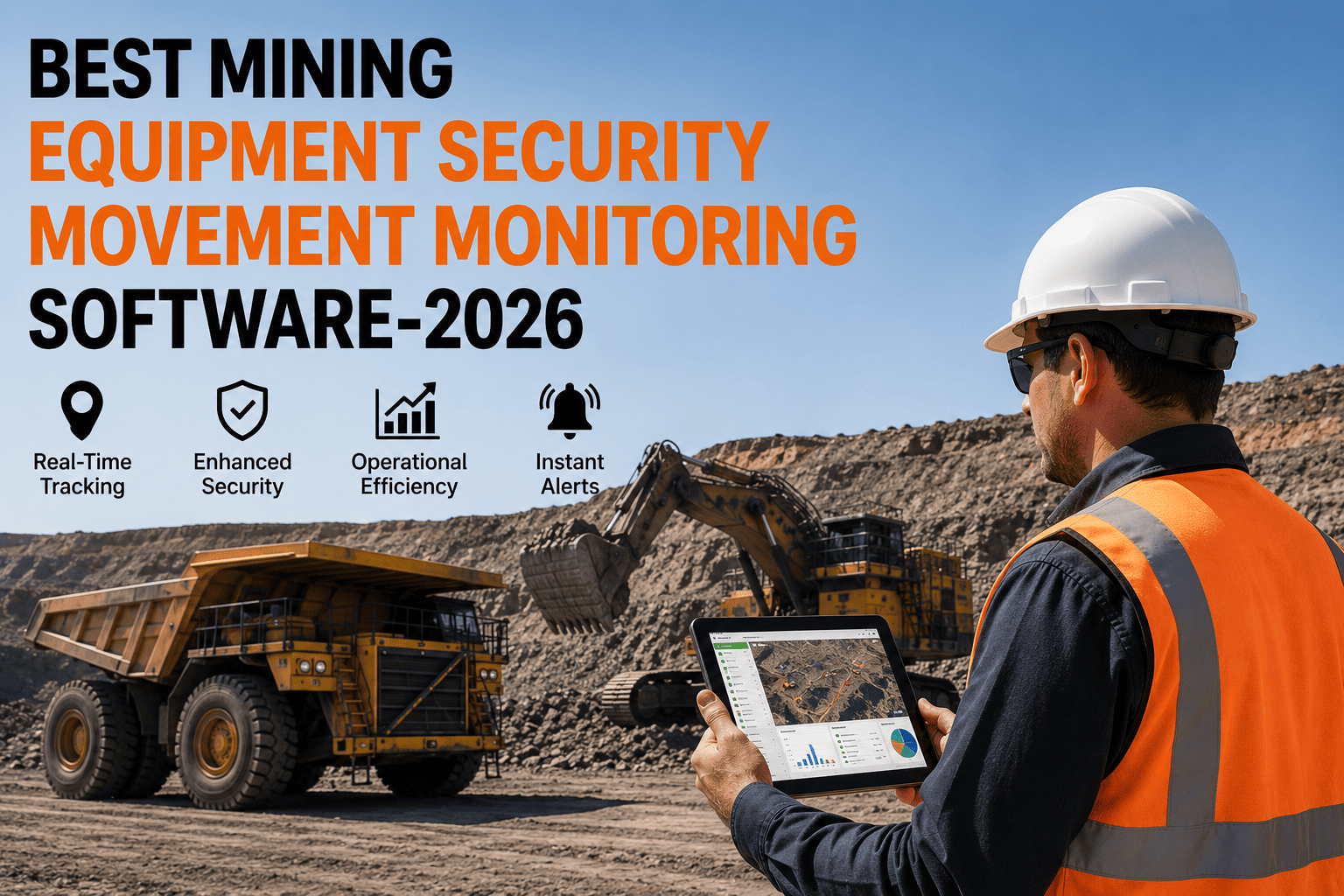
It is 6 a.m. and the pit dispatcher cannot find a single excavator. The radio is silent. The last known position is whatever the night shift remembered before they went home. Forty minutes later, someone finally locates it parked behind a stockpile, idling, with nobody inside. That is forty minutes of lost production, on one machine, before the shift has even really started — and it happens every single day on sites that still run on radios and memory instead of GPS.
This guide breaks down how GPS tracking software actually works on mine sites and quarries with poor or no signal, the core features that separate a real mining-grade system from a repurposed trucking app, a side-by-side look at how FleetRabbit AI stacks up, and a simple path to get every haul truck, loader, and drill rig visible on one live map within a day.
FleetRabbit AI shows the exact location of every haul truck, loader, excavator, and drill rig on your site, even underground or in dead-zone pits with zero signal. Geofenced alerts, idle-time tracking, and utilization reports come standard. Set up in under a day. Start your free 14-day trial and see your fleet live within hours.
Why "Just Use Google Maps GPS" Does Not Work on a Mine Site
Consumer GPS and basic trucking-fleet trackers are built around one assumption: a clear view of the sky and a steady cellular signal. Mine sites and quarries break both assumptions constantly. Pit walls block satellite line-of-sight. Underground levels block it entirely. Remote quarries sit far outside any cell tower's reach. A tracking system that was designed for delivery vans on city streets simply stops reporting the moment your haul truck drops into a deep pit or a drift.
That gap is exactly why purpose-built mining GPS tracking exists. Instead of relying on a single positioning method, mining-grade systems combine GNSS satellite positioning, cellular and satellite communication fallback, and offline local data capture so that an asset's location and activity are never a mystery — whether it is sitting on the surface stockpile or three levels underground.
The operations that get this right are not necessarily running bigger budgets. They are running the right architecture: software that assumes signal will drop, rather than software that breaks when it does.
Sites without live location tracking report losing 30 to 45 minutes per shift just locating equipment that radio calls and memory cannot pin down fast enough.
Comparing actual working hours against available hours through GPS-based utilization tracking commonly lifts equipment utilization by 15 to 20% within the first quarter.
Geofenced alerts around blast zones, restricted areas, and haul roads cut unauthorized-entry and near-miss incidents dramatically once every breach triggers an instant alert.
Offline-first location capture means every asset keeps reporting position and activity data even at full depth, with everything syncing the instant signal returns.
How GPS Tracking Actually Works When There Is No Signal
This is the question every site manager asks before buying, and it deserves a straight answer. Here is the four-stage process that keeps an asset visible from the moment it loses signal to the moment a manager pulls up its full movement history.
The onboard tracker keeps recording GNSS position, speed, heading, and engine status continuously, independent of whether a cellular or satellite connection is currently available. The device does not pause data capture just because it cannot transmit — it simply queues what it records.
When an asset drops underground, enters a deep pit, or moves outside cellular range, every position point, idle event, and engine-hour reading is stored locally on the device or paired mobile unit. Nothing is lost during the blackout window — it is simply held until it can be sent.
As soon as the asset re-enters cellular range, climbs back to surface, or passes a mesh relay point, the queued data transmits automatically in the background. No operator action is required, and no dispatcher has to remember to "check back later" — the dashboard simply fills in the missing trail.
The manager sees a complete, gap-free movement history — exactly where the asset went, how long it idled, what zones it entered, and how its engine hours climbed — even though parts of that journey happened with zero live connectivity at the time.
Dispatch stops relying on radio check-ins to know where equipment is. Idle haul trucks get reassigned within minutes instead of sitting unnoticed for hours. Geofence breaches around blast zones trigger instant alerts instead of being discovered after the fact. Utilization reports replace guesswork, showing managers exactly which machines are earning their place in the fleet and which are quietly costing money while parked.
The 5 Capabilities a Mining-Grade GPS Tracking Platform Needs
A trucking app with a mining label slapped on it will track location on the surface and little else. These five capabilities are what separate software that was actually engineered for pits, quarries, and underground levels from a generic GPS tool wearing a mining skin.
What it does: Captures location, speed, and engine status locally on the device, with zero dependence on a live connection to keep recording.
Why it matters: Underground levels and deep pits lose signal by design, not by accident. A system that needs live signal to function is blind exactly where mining happens most.
What it does: Draws virtual boundaries around blast zones, restricted areas, haul roads, and crusher stations that trigger instant alerts on entry or exit.
Why it matters: A vehicle entering an active blast zone thirty seconds before detonation is a safety event a radio call cannot prevent fast enough — an automatic alert can.
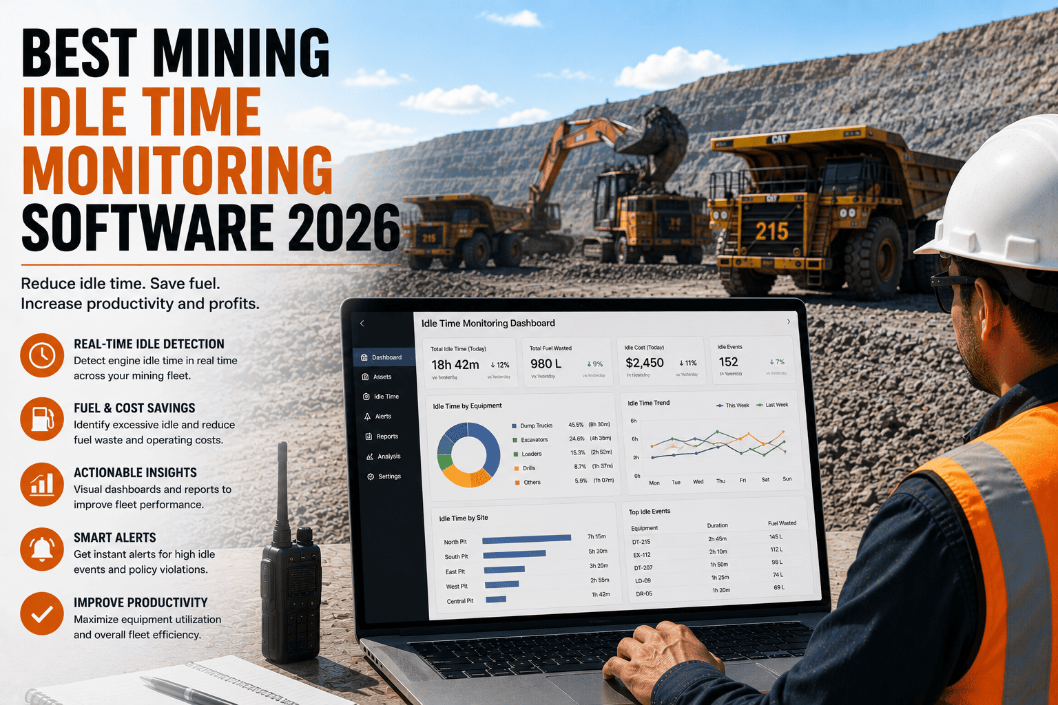
What it does: Separates engine-on idle time from genuinely productive working hours for every asset, every shift.
Why it matters: Fleets carrying excess machines almost always discover it here — a loader that looks busy on paper but sits idle 30% of its shift is a capital decision waiting to be made.
What it does: Shows equipment across multiple pits, quarries, or regions in one consistent view instead of separate logins per location.
Why it matters: Operators running more than one site need to compare utilization and movement across locations without stitching together exports from different tools.
What it does: Reconstructs exactly where an asset traveled, how fast, and for how long, across any selected time window.
Why it matters: Disputes over haul cycle times, incident investigations, and theft recovery all depend on being able to play back movement history, not just see a current dot on a map.
For a typical 15-asset site: Recovering even one hour of idle time per truck per day at average production value pays for a full year of tracking software within weeks, before counting theft prevention or avoided safety incidents.
What it replaces: Radio check-ins, end-of-shift guesswork, and the manual spreadsheet someone updates from memory two days after the fact.
FleetRabbit AI vs. Other GPS Tracking Options for Mining
Most mine operators evaluating GPS tracking compare three paths: an enterprise mining telematics suite, a generic GPS fleet tool repurposed from trucking, or building visibility manually through radios and spreadsheets. Here is how each actually performs on the features that matter for a small to mid-size mine or quarry.
| Capability | FleetRabbit AI | Enterprise Mining Telematics | Generic GPS Fleet Tools | Radio + Spreadsheets |
|---|---|---|---|---|
| Works underground / dead zones | Full offline capture, auto-sync | Yes, with custom hardware install | Drops out, no offline mode | No tracking at all |
| Geofenced zone alerts | Included standard | Included, enterprise tier | Basic or add-on only | None |
| Idle vs. active utilization | Automatic, per-shift | Yes, requires BI configuration | Limited reporting | Manual estimate |
| Multi-site dashboard | Included standard | Included, extra licensing | Often single-site only | None |
| Route and movement playback | Full history, any range | Yes, complex export process | Limited history window | None |
| Setup time | Same day, self-serve | 3 to 6 months, consultants | 1 to 2 weeks | Already "set up", unreliable |
| Monthly pricing | $5 per asset | $3,000 to $15,000+ | $200 to $900 | Hidden cost of lost time |
| Built for small mines | Purpose-built | Enterprise focus | Generic adaptation | No system at all |
FleetRabbit AI puts every haul truck, loader, excavator, and drill rig on one live map — with geofenced zone alerts, idle-time tracking, and full route history, even where signal does not reach. Setup takes less than a day. 14-day free trial. No credit card. No contracts.
Getting Live GPS Visibility on Your Whole Fleet in One Day
Operators delay adopting GPS tracking because they assume it means new hardware installs, weeks of configuration, and a learning curve for every operator. With FleetRabbit AI, none of that applies. Here is what actually happens from sign-up to your first live map.
List every haul truck, loader, excavator, drill rig, and service vehicle. Import from a CSV or add manually. If telematics hardware already exists on site, connect the provider and location data starts flowing immediately.
Mark blast zones, restricted areas, haul roads, and crusher stations directly on the map. Assign which zones trigger alerts, and who receives them — supervisor, dispatcher, or safety lead.
Define expected working hours per shift for each asset type so the dashboard can flag idle time automatically instead of managers having to calculate it by hand.
Every tracked asset appears on the live map immediately. Dispatch can see real-time position instead of waiting on a radio response. Geofence alerts start firing the moment a boundary is crossed.
Within a day, the dashboard surfaces which assets are running at strong utilization and which are sitting idle longer than expected — the kind of insight that used to take a week of manual log review to uncover.
Frequently Asked Questions About GPS Tracking for Mining Equipment
Every hour spent searching for a haul truck or loader is an hour of lost production. FleetRabbit AI puts your entire fleet on one live map, with geofenced safety alerts, idle-time tracking, and full movement history, even in dead zones underground or deep in a pit. Setup takes less than a day and costs $5 per asset per month. No credit card required for the 14-day free trial. No long-term contracts. No hardware install teams.