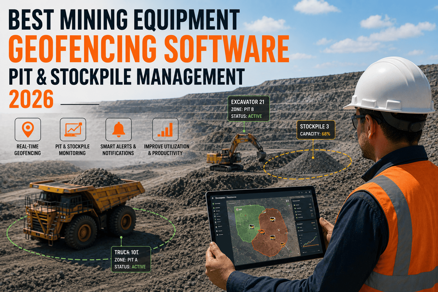
A loader drifts a little too close to an active blast zone. A haul truck cuts through a restricted pit wall shortcut to save two minutes. A dozer sits parked behind a stockpile for forty minutes before anyone notices it's gone quiet. None of these moments show up on a radio call until something has already gone wrong. The best mining equipment geofencing software closes that gap by turning every pit, stockpile, haul road, and restricted zone into a live boundary that alerts your team the instant it's crossed, not after the fact.
Mining equipment geofencing software draws virtual boundaries around blast zones, stockpiles, haul roads, and restricted pit areas, then triggers an automatic alert the moment any tracked asset enters, exits, or lingers too long inside one of them. Sites without live location tracking report losing 30 to 45 minutes per shift just locating equipment that radio calls and memory cannot pin down fast enough, and GPS-based utilization tracking commonly lifts equipment utilization by 15 to 20 percent within the first quarter of use.
Why Pit and Stockpile Boundaries Need More Than a Radio Call
Open-pit and quarry sites are built around dozens of zones that change meaning by the hour. A bench that's safe to enter in the morning becomes a blast zone by afternoon. A stockpile that's active today gets fenced off for reclamation tomorrow. Relying on operators to remember every boundary, or on a supervisor noticing a machine drift on a radio channel, leaves too much room for a mistake that costs far more than the minutes it took to make it.
The Real Cost of Not Knowing Where Equipment Is
Sites without live location tracking report losing 30 to 45 minutes per shift just locating equipment that radio calls and memory cannot pin down fast enough. That's not a safety statistic sitting in a report somewhere. It's a loader idling behind a stockpile for the better part of an hour while a supervisor works the radio trying to figure out where it went.
Why This Gets Worse as Sites Grow
Every additional pit, bench, or stockpile added to a site multiplies the number of boundaries someone has to track manually. What was manageable with five machines on a small quarry becomes impossible with forty machines spread across multiple pits, which is exactly when unauthorized-entry incidents and untracked idle time start climbing together.
The Zones That Matter Most on a Mine Site
Geofencing only works when it's built around the boundaries that actually carry operational or safety weight, not a map cluttered with lines nobody checks.
Active Blast Zones
Instant alerts the moment any tracked asset enters a live blast radius, so exclusion breaches are caught in seconds rather than discovered after the fact.
Stockpiles & Load Zones
Track which loaders and trucks are actually working a stockpile versus parked nearby, turning idle time behind a pile into a visible, actionable number.
Haul Roads & Ramps
Monitor equipment movement along designated haul routes and flag unauthorized shortcuts across pit walls or closed ramps before they become a near miss.
Restricted & Closed Areas
Fence off reclamation zones, unstable benches, and closed pit sections so entry triggers an immediate alert to dispatch and HSE, not a discovery days later.
How Geofencing Software Actually Works on a Live Site
Modern mining-grade geofencing doesn't depend on one fragile signal source. It combines GNSS satellite positioning, cellular and satellite communication fallback, and offline local data capture, so an asset's location is never a mystery, whether it's sitting on the surface stockpile or working three levels underground.
Built to Assume Signal Will Drop
Remote pits and underground sections are notorious for dead zones. The right software is designed around that reality from the start, logging location and zone activity offline and syncing the moment connectivity returns, instead of simply going blank when a machine moves out of range.
Turning a Boundary Crossing Into an Instant Action
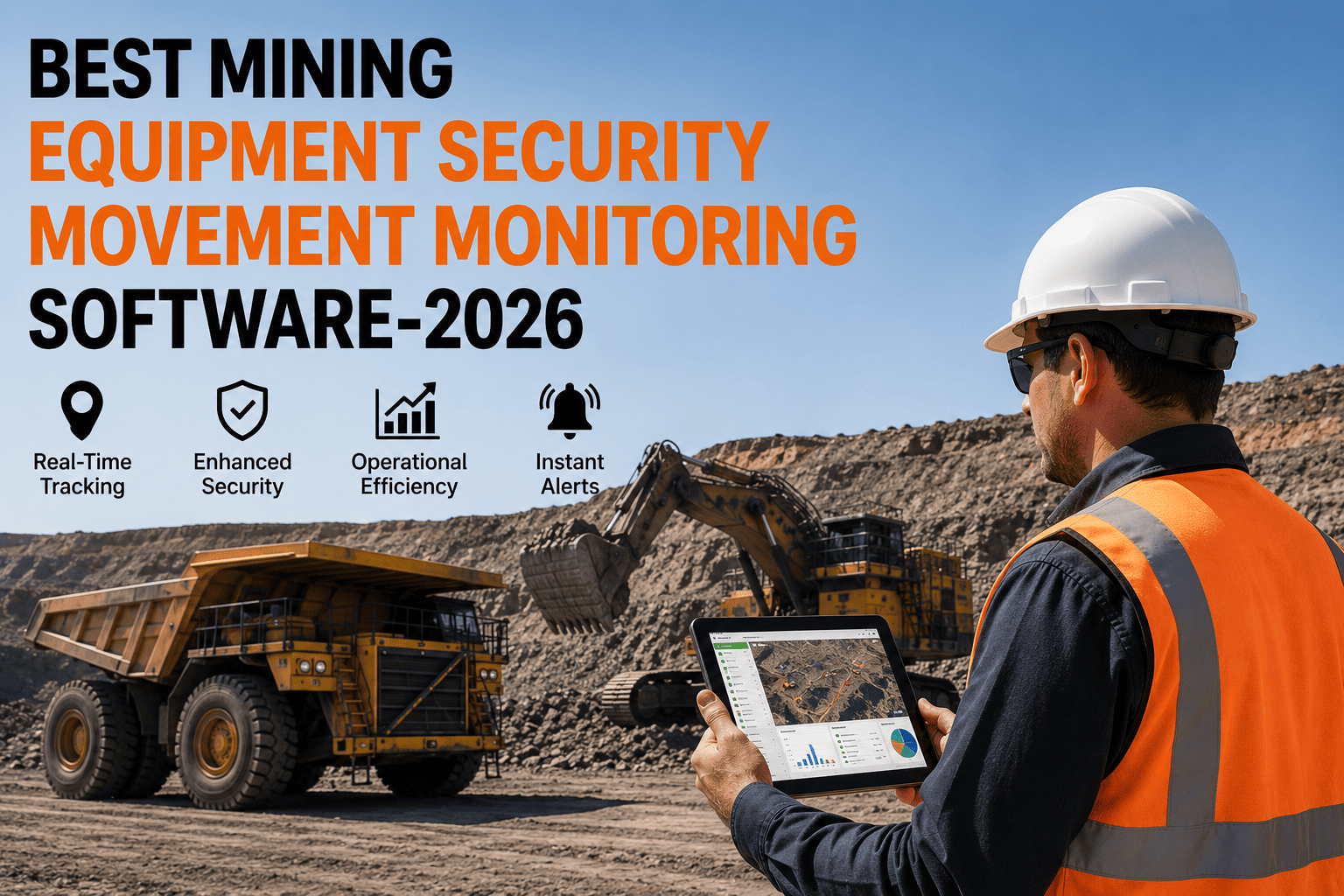
Geofencing turns a safety risk that used to depend on someone noticing in time into an automated alert that fires instantly, regardless of whether anyone happens to be watching the radio at that exact moment. A blast zone breach, a restricted area entry, or a haul road detour gets routed to the right person, immediately, every time.
Put Every Zone and Every Asset on One Live Map
FleetRabbit shows the exact location of every haul truck, loader, excavator, and drill rig on your site, even underground or in dead-zone pits with zero signal. Sign up for a free trial and get your first live map within a day, or book a demo to see geofenced alerts in action first.
Manual Monitoring vs. Automated Geofencing
The difference between watching a map and having the map watch for you shows up clearly once you compare the two approaches side by side.
| Monitoring Approach | How a Breach Gets Caught | Typical Response Time | Underground & Dead-Zone Coverage |
|---|---|---|---|
| Radio and visual checks | Someone has to notice and call it in over the radio | Minutes to tens of minutes, if noticed at all | None, relies entirely on line of sight and signal |
| Basic GPS tracking | Location dots on a map, reviewed manually by a dispatcher | Delayed, depends on someone actively watching | Limited, gaps whenever signal drops |
| Automated geofencing software | System detects the boundary crossing and fires an alert automatically | Instant, the moment the boundary is crossed | Full, with offline capture and sync on reconnect |
Getting Every Zone Mapped Without Slowing Down Operations
Operators often delay adopting geofencing software because they assume it means new hardware installs, weeks of configuration, and a learning curve for every operator on site. In practice, setup is far simpler than that.
Step One: List Your Equipment
Add every haul truck, loader, excavator, drill rig, and service vehicle, either by importing a CSV or connecting existing telematics hardware if it's already on site. Location data starts flowing immediately once connected.
Step Two: Draw Your Zones on the Map
Mark blast zones, restricted areas, haul roads, and stockpile or crusher stations directly on a live map. Each zone can carry its own alert rule, so a stockpile entry doesn't trigger the same urgent escalation as a blast zone breach.
Step Three: Let the Alerts Do the Watching
Once zones are set, the system monitors every tracked asset continuously and routes alerts to the right owner, whether that's dispatch, HSE, or a site supervisor, without anyone needing to stare at a map all shift.
What Good Geofencing Software Should Deliver
Not every tracking tool billed as "geofencing" is actually built for mining conditions. A few capabilities separate a purpose-built platform from a repurposed trucking app.
Multi-Site Visibility From One Dashboard
Operations running more than one pit, quarry, or region need to compare location, zone activity, and movement history across every site without switching logins or stitching together separate exports.
Configurable Alert Severity by Zone Type
A workshop entry, a restricted-zone breach, and a recurring haul road detour don't deserve the same response. The best platforms let you route each zone's alerts to the right team with the right urgency, so escalation stays meaningful instead of turning into noise nobody reads.
Frequently Asked Questions
Stop Finding Out About a Zone Breach After It Happens
Every shift without automated geofencing leaves your blast zones, stockpiles, and restricted areas depending on someone noticing in time. FleetRabbit puts every haul truck, loader, excavator, and drill rig on one live map with geofenced alerts that fire instantly. Sign up for a free trial or book your demo today.