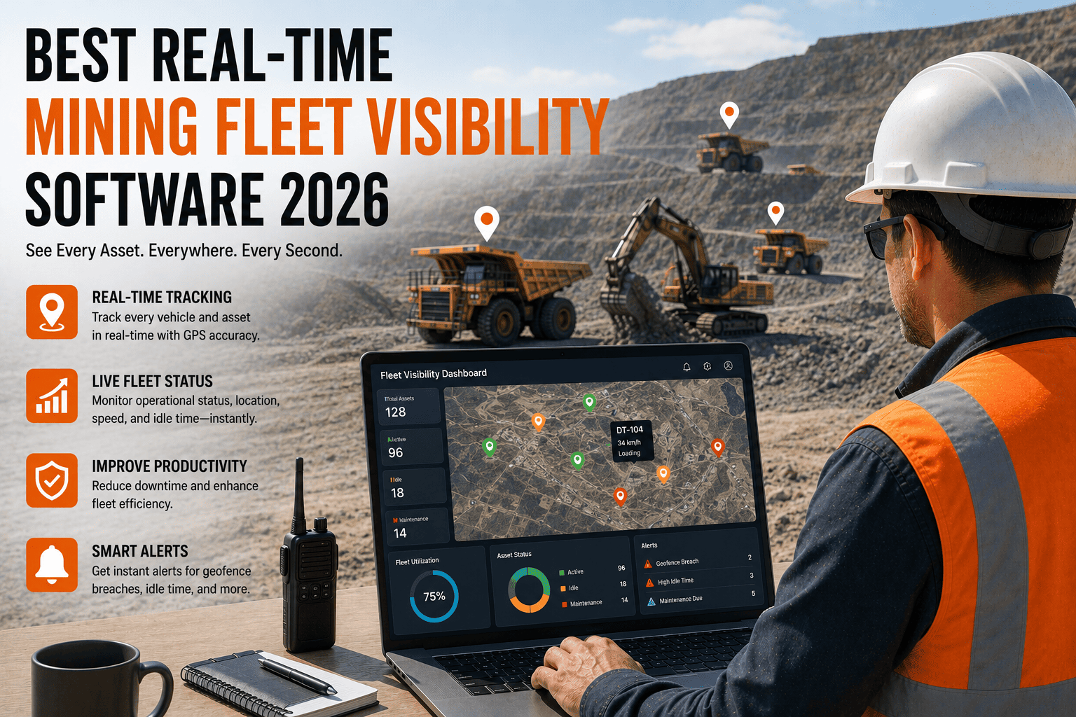
A storm cell is closing in on the pit. Somewhere out there are twelve haul trucks, four loaders, and a drill crew working the far bench, and the dispatcher's only tool for finding them is a radio that half the operators forget to check. This is the exact scenario that real-time mining fleet visibility software exists to prevent — the moment when knowing where every machine and every person is, right now, stops being convenient and becomes urgent.
Real-time mining fleet visibility software puts every haul truck, loader, drill rig, and support vehicle on one live map, updated continuously rather than through radio check-ins. The strongest 2026 platforms add weather-aware geofencing, instant mine-wide evacuation alerts, and offline-first tracking that keeps recording location even when a pit or underground level loses signal. FleetRabbit gets a typical site fully visible on one dashboard within a single business day, with no hardware install team required.
What Real-Time Visibility Actually Delivers
"Real-time" gets used loosely in fleet software marketing. On an actual mine site, it means three specific things working together: continuous position updates, environmental awareness, and instant alerting when something changes fast.
Every Asset, Live
Haul trucks, loaders, drills, and support vehicles report position, speed, and status continuously, replacing radio check-ins that go stale the moment they're spoken.
Weather Layered In
Live weather overlays on the same map that shows equipment let supervisors see an incoming storm and a drill crew's exact position side by side, not in separate apps.
Instant Alerting
Geofence breaches, unauthorized zone entry, and evacuation triggers push notifications the second they happen, not minutes later during the next radio round.
Inside a Live Fleet Visibility Dashboard
The value of a visibility platform shows up in what a supervisor can see without picking up a radio or walking the pit. Here's what separates a genuine live dashboard from a map that only updates every few minutes.
| Dashboard Element | What It Shows | Why It Matters On Site |
|---|---|---|
| Live Asset Map | Position, speed, and idle status for every haul truck, loader, and drill rig | Dispatch reassigns idle equipment in minutes instead of discovering it hours later |
| Geofence Zones | Blast zones, restricted areas, and active work zones drawn directly on the map | A truck crossing into a blast radius triggers an alert before it becomes an incident |
| Weather Overlay | Incoming storm cells, lightning proximity, and visibility conditions layered on the same view | Supervisors see exposure and equipment location together, not as two separate decisions |
| Evacuation Trigger | One-click mine-wide alert with real-time progress tracking as workers and equipment clear the zone | Confirms who and what has actually left, instead of assuming a radio call reached everyone |
| Movement Playback | Full history of where any asset traveled, at what speed, over any selected window | Settles incident investigations and cycle-time disputes with data instead of memory |
FleetRabbit puts every haul truck, loader, and drill rig on one live map with weather overlays and instant alerting built in. Sign up free and see your fleet live within hours, or book a demo to walk through your own site layout first.
How Visibility Software Handles a Weather Event
Severe weather is one of the clearest tests of whether a visibility platform earns its place on site. The value shows up in three distinct phases, each demanding something different from the software.
Before the Storm Arrives
Weather overlays on the live map give supervisors lead time instead of a surprise. Seeing a storm cell's projected path against the exact position of every crew lets a site make a calm decision about pulling equipment back, rather than a rushed one once conditions have already turned.
What to look for
Weather data that updates automatically on the same screen as asset location, not a separate app a supervisor has to remember to check.
During an Active Event
This is where geofencing and instant alerts matter most. If equipment enters a zone that should be cleared, or a worker's device shows no movement when it should, the platform needs to surface that immediately rather than waiting for someone to notice.
What to look for
Alerts that push to supervisor devices the instant a rule is broken, with enough detail to act — which asset, where, and how urgent.
After the Event Clears
Movement playback lets a site reconstruct exactly what happened — which routes were taken, how long the evacuation took, and whether every zone actually cleared before all-clear was given. That record matters for both safety review and any regulatory follow-up.
What to look for
Full historical playback by asset and time window, exportable for incident review without manual reconstruction.
Emergency Evacuation: What Fast Actually Looks Like
Mine-wide evacuation is the single highest-stakes moment a visibility platform will ever be asked to handle. The difference between a platform built for this and one that merely tracks location shows up in these numbers.
One-Click Alert
A single action pushes an evacuation notification mine-wide, to every connected device, instead of relying on a radio message reaching everyone in sequence.
Live Clearance Tracking
The dashboard updates in real time as workers and equipment move toward muster points, showing exactly who and what has cleared and who hasn't yet.
Individual Identification
Rapid identification of specific workers, rather than a headcount guess, closes the gap between believing everyone is safe and actually confirming it.
What to Confirm Before Choosing a Platform
Plenty of GPS tools track a truck on the surface and little else. Before committing budget, confirm the platform genuinely holds up against these four points, ideally by watching them demonstrated live rather than described in a sales deck.
First, ask whether tracking keeps recording with zero connectivity — underground levels and deep pits lose signal by design, and a platform that pauses there is not built for mining. Second, confirm weather and location genuinely sit on the same screen, not in two separate tools a supervisor has to cross-reference under pressure. Third, ask to see an evacuation alert triggered live, with progress tracking, not just described. Fourth, confirm the platform scales across every pit or site you operate today and the ones you plan to add, on one login rather than a separate portal per location.
FleetRabbit combines live GPS tracking, weather-aware geofencing, and mine-wide evacuation alerts in a single dashboard built for surface and underground operations alike. Start your free trial today, or book a 30-minute demo to see it running against your own equipment list.
Frequently Asked Questions
Radio check-ins and guesswork are not a visibility strategy. FleetRabbit puts your entire fleet, every weather risk, and every evacuation status on one live screen, ready before the next storm rolls in.