Your vehicles are leaving job sites early, taking unauthorized detours, and sitting idle at wrong locationsand without geofencing, you'll never know. In 2025, over 71% of enterprise geofencing spend went to fleet tracking and asset security. Fleets using geofencing eliminate 95% of unauthorized vehicle use and report 20% less overtime through automated zone monitoring.
Draw Invisible Boundaries. Get Instant Alerts.
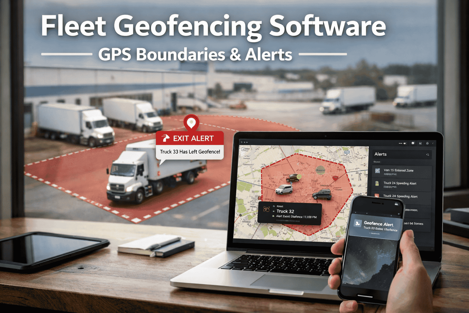
Fleet geofencing creates virtual perimeters around any location—job sites, customer zones, restricted areas, or your depot. The moment a vehicle crosses these boundaries, you know instantly.
Geofencing = Virtual GPS boundaries around physical locations. When vehicles enter or exit these zones, you get instant alerts. No manual tracking needed.
3 Types of Geofence Zones
Circular Zones
Simple radius around a single point
Polygon Zones
Irregular shapes for complex sites
Corridor Zones
Linear boundaries along routes
6 Problems Geofencing Solves
Every problem below costs you money daily. Geofencing automates the solution. Combined with real-time GPS tracking, you get complete fleet visibility.
Manual Time Tracking
Unauthorized Vehicle Use
Route Deviations
"Where's My Driver?" Calls
Theft & Security Risks
Compliance Documentation
See How Geofencing Solves Your Problems
15-minute demo showing real zone setup, alerts, and automated reporting.
Industry Use Cases
Different industries use geofencing differently. Find your use case below:
Construction
- Track crew arrival at job sites
- Log equipment time on-site
- Prevent after-hours equipment use
- Automate project time billing
Delivery & Logistics
- Auto-notify customers on approach
- Proof-of-arrival timestamps
- Monitor delivery zone coverage
- Track time per stop
Field Service
- Track technician time at customer sites
- Verify service visits completed
- Optimize territory coverage
- Automate job completion logs
Security & Asset Protection
- After-hours movement detection
- Restricted area monitoring
- Theft prevention alerts
- High-value cargo tracking
How It Works (3 Simple Steps)
Draw Your Zone
Click on our map to create circles, polygons, or corridors around any location. Name each zone.
Set Alert Rules
Choose triggers: entry, exit, dwell time, after-hours. Select who gets notified (email, SMS, push).
Monitor 24/7
System watches boundaries automatically. Every entry/exit logged. Alerts fire instantly. Reports generate daily.
Alert Types You Can Configure
Geofencing vs Manual Tracking
Ready to Automate Your Fleet Monitoring?
See geofencing in action with your actual locations and use cases.
Why FleetRabbit Geofencing
Unlimited Geofences
Create as many zones as you need. No per-zone fees or artificial limits.
5-15 Feet Accuracy
Multi-constellation GPS (GPS, GLONASS, Galileo) for precise boundary detection.
Instant Mobile Alerts
Push notifications on iOS & Android. Know immediately when boundaries are crossed.
Works with Existing Hardware
Compatible with most GPS trackers and ELD devices already installed.
Automated Reports
Daily, weekly, monthly zone activity reports. Export to Excel or PDF anytime.
Compliance Integration
Works with DVIR and HOS tracking for complete compliance coverage.
Frequently Asked Questions
GPS-based geofencing typically achieves 5-15 feet accuracy under normal conditions. This is precise enough for job site boundaries, customer locations, and depot perimeters. FleetRabbit uses multi-constellation GPS (GPS, GLONASS, Galileo) for maximum reliability.
Unlimited geofences on all plans, including the free tier. Create as many zones as your operations require—depots, customer sites, restricted areas, delivery zones. No per-zone pricing or artificial limits.
Configure alerts for: zone entry, zone exit, dwell time exceeded, after-hours movement, speed within zone, and route deviation. Alerts can be delivered via email, SMS, or mobile push notification to multiple recipients.
Yes. FleetRabbit works with most GPS tracking hardware and ELD devices already installed in your vehicles. Geofencing is a software feature that processes location data from your existing devices—no new hardware required in most cases.
Most zones take 30 seconds to 1 minute to create. Simply draw on the map, name the zone, and set your alert preferences. The system starts monitoring immediately—no waiting period or complex configuration.
Stop guessing where your vehicles are. Geofencing gives you automatic alerts, verified timestamps, and complete zone control. Free for up to 3 vehicles—see results in your first week.