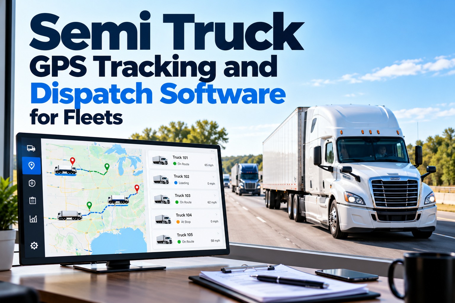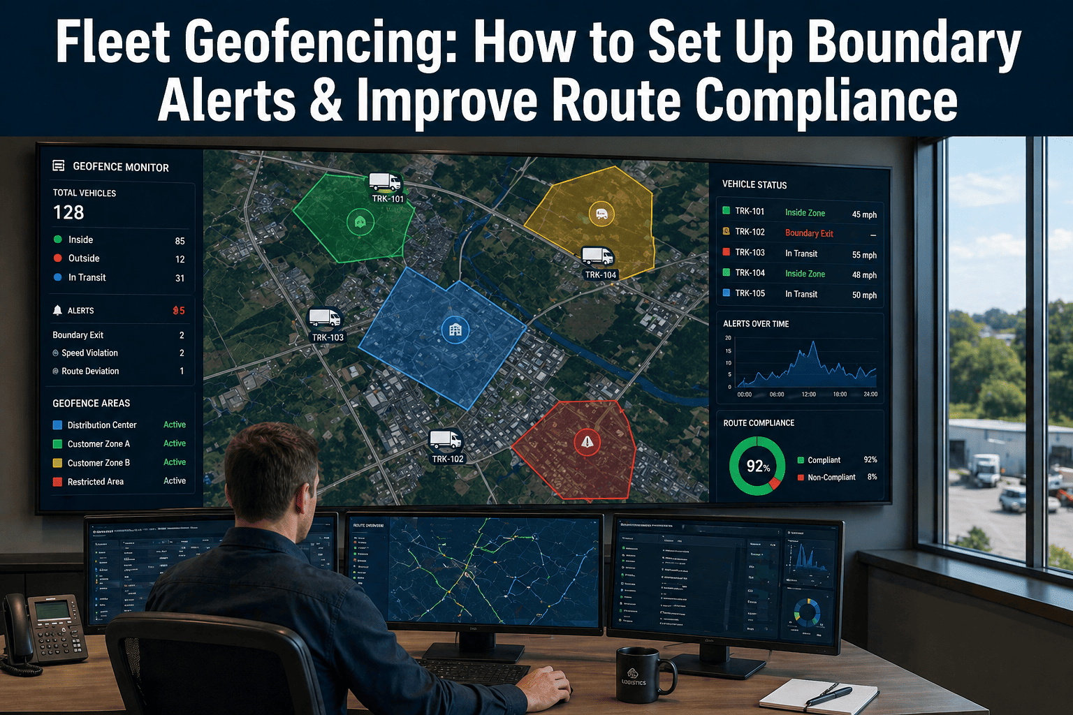
Setting up geofencing for your fleet helps you monitor boundaries, improve route compliance, and reduce unauthorized vehicle use. Traditional geofencing fires an alert after a vehicle crosses a boundary — reactive and often too late. FleetRabbit's geofencing layer lets you draw zones in seconds, set smart alert conditions, and receive notifications before deviations become violations. Book a free demo to see geofencing live on your fleet routes →
FleetRabbit's geofencing platform lets fleet managers draw unlimited live zones in seconds, set smart alert conditions by time, speed, and direction — not just boundary crossing — and receive real-time notifications routed to dispatch or ops based on severity. The system learns normal route behavior and surfaces genuine deviations, eliminating alert fatigue from false positives. Setup takes under 10 minutes. No hardware required.
Why Traditional Geofencing Falls Short
Standard geofencing has been around for years. Draw a polygon. Vehicle crosses the line. Alert fires. This works for simple use cases — but modern fleet operations need more. Drivers deviate for legitimate reasons. Alert fatigue from false positives causes teams to disable notifications entirely. And post-event alerts cannot prevent deviations — they only document them after the fact. Start free and activate geofencing on your fleet in under 10 minutes →
How Smarter Geofencing Works
FleetRabbit's geofencing layer sits on top of real-time GPS telemetry and adds intelligence layers that static boundary systems cannot provide: behavioral learning, predictive deviation detection, and context-aware alert routing. See geofencing configured for your specific fleet routes — book a 30-minute walkthrough →
Draw any geofence shape directly on the map interface — freehand polygon for irregular site boundaries, circle for radius-based depot zones, or address input for instant customer site creation. Every zone is live the moment you save it. Assign zones to specific vehicles, driver groups, or the entire fleet. Set active hours so zones activate only during time windows that matter.
Over the first 2 to 3 weeks of operation, the system observes each driver's movement patterns — their typical route variations, regular stops, known shortcuts, and approved deviations. It builds a behavioral baseline per driver per route. Once learned, only deviations that fall outside the normal pattern surface as alerts.
The predictive layer analyzes current vehicle heading, speed, and distance from the expected route to calculate a deviation probability score in real time. When that score crosses a configurable threshold, an alert fires — before the vehicle leaves the zone. Dispatch can contact the driver while they still have time to course-correct.
Not all geofence alerts are equal. A vehicle leaving the depot after hours routes to the fleet manager as a security alert. A minor route variation during a delivery window routes to the dispatcher as an informational note. Alert routing rules are configured per zone type, time window, and severity level.
Unlimited zones, deviation detection, smart alert routing, and real-time compliance dashboards — free for up to 3 vehicles. No hardware. No contracts. Live in 48 hours.
Geofencing Use Cases That Cut Real Fleet Costs
Geofencing delivers measurable ROI through high-impact use cases. Each of these delivers savings within the first 30 days of deployment. Connect your fleet and activate these workflows free today →
After-Hours Vehicle Use Prevention
Time-based geofences activate at depot closing and alert ops when any vehicle moves outside its approved home-base radius during non-operational hours. Alert fires within 2 minutes of ignition during restricted hours.
Route Deviation Enforcement
Corridor geofences follow the planned route path and alert dispatch when a vehicle deviates beyond a configurable buffer. Predictive detection means the alert fires before the driver completes the detour.
Customer Site Arrival Automation
Customer site geofences trigger automatic arrival timestamps, dwell time tracking, and departure records — eliminating manual driver check-in logs entirely. Proof-of-delivery data is captured automatically.
Restricted Area Exclusion Zones
Competitor facilities, school zones during hours, and hazardous material routes can be mapped as exclusion zones. Approaching vehicles trigger warning alerts with enough lead time to reroute.
Asset Security and Theft Prevention
Yard geofences monitor trailers and equipment. When any asset moves outside the defined yard boundary without a linked dispatch order, a security alert fires immediately. GPS breadcrumb history provides a recoverable trail.
Driver turns off the planned route. Boundary alert fires when the vehicle crosses the outer polygon. Dispatcher receives the alert, pulls up the route, calls the driver. Driver has been driving the wrong direction for minutes. Deviation adds miles and minutes. Alert documented the problem but did nothing to prevent it.
The predictive layer detects vehicle heading and speed trending away from the approved corridor. Alert fires before the turn. Dispatcher calls the driver with a course correction. Zero added miles. Zero delay. Alert prevented the problem.
Driver uses company van for personal errands over weekends. No one notices until monthly fuel statement shows purchases that do not correlate with route logs. Investigation requires manual GPS log review and cross-referencing statements. Weeks after it started.
Vehicle ignition triggers inside the depot. Time-based after-hours geofence activates. Vehicle moves outside the approved radius. Security alert fires to fleet manager within minutes. Manager sees the vehicle ID and sends a message. Unauthorized trip is the last one.
Every vehicle in your fleet, every zone you define, every alert routed to the right person — automatically. The geofencing platform is live in your fleet in 48 hours, free for up to 3 vehicles.
Frequently Asked Questions
Geofencing gives you the answer — automatically, in real time, before the deviation becomes a cost. Live zones in under 10 minutes. Predictive alerts before boundaries are crossed. Smart routing to the right person. Free for up to 3 vehicles.