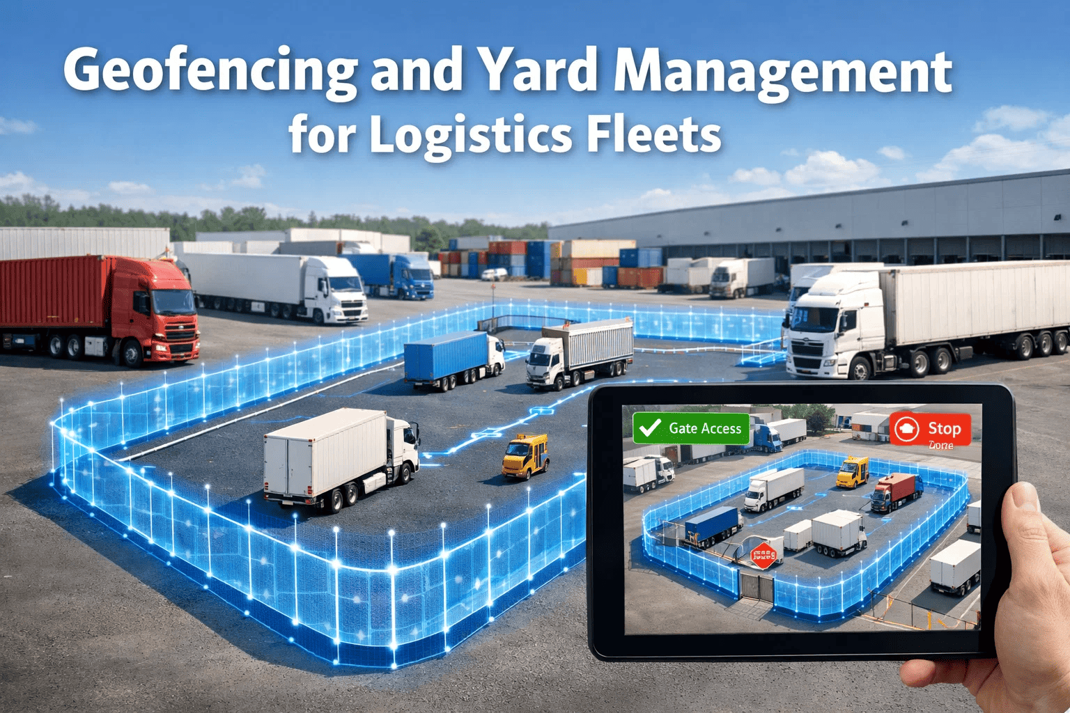
Transportation and logistics fleet yards are among the most complex and highest-risk operational environments in commercial trucking. A single active freight yard can process dozens of vehicle movements per hour across trailer spotting, dock loading, fuel island queuing, and maintenance bay access — all without the traffic control infrastructure of public roadways. Without systematic visibility into yard operations, fleet managers face chronic inefficiencies: lost trailers, unauthorized vehicle movements, staging bottlenecks, and the security exposures that increase insurance costs and cargo liability.
Geofencing technology combined with digital yard management capabilities transforms this operational complexity into structured, visible, and controllable workflows. This guide covers how geofencing works at a technical and operational level, the specific problems it solves for transportation and logistics fleets, and how FleetRabbit's transportation platform integrates location intelligence with fleet operations to improve yard efficiency and fleet security across multi-location operations.
Geofencing & Yard Management for Logistics Fleets
Eliminate Yard Chaos, Reduce Dwell Times, and Secure Every Asset in Your Operation
Understanding Geofencing in a Fleet Operations Context
Geofencing is the creation of a virtual perimeter around a physical geographic area — a yard, a terminal, a customer location, a fuel station, or any operational landmark — that triggers automated actions when vehicles or assets enter, exit, or dwell within the defined boundary. In transportation and logistics operations, geofencing is not a single-purpose tracking tool; it is an operational automation layer that connects vehicle location data to dispatch workflows, billing systems, compliance records, and security protocols.
Entry Events
When a vehicle crosses a defined boundary inbound, triggers include: automatic timestamp logging for dwell time calculation, dispatch notification of arrival, customer webhook for delivery confirmation, automated ELD status change from on-duty driving to on-duty not driving.
Exit Events
Departure events trigger: dwell time calculation and logging, after-hours departure security alerts, automated proof of departure for billing, dispatch notification for route monitoring, and driver HOS event documentation for ELD purposes.
Dwell Alerts
When vehicles exceed defined dwell time thresholds within a zone, escalating alerts trigger: initial notification at defined limit, supervisor escalation at 2× limit, operations manager alert at 3× limit. Prevents staging delays and unauthorized long-term parking.
Security Events
Unauthorized access events generate immediate security alerts: vehicle movement outside operational hours, trailer movement without assigned driver, access to restricted yard zones, vehicle departure without check-out authorization from dispatch system.
8 Critical Yard Management Problems Geofencing Solves
The operational challenges of yard management are consistent across transportation and logistics operations of all sizes. Geofencing addresses each of these challenges through automation, real-time visibility, and structured workflow enforcement that manual supervision cannot reliably provide across a 24-hour operation.
Lost or Misplaced Trailers
In large yards with 50–500+ trailers, manual trailer location tracking fails within hours. Drivers waste 30–45 minutes per shift searching for assigned trailers. Geofencing with asset-level GPS tracking provides exact trailer location searchable from any device in seconds.
Cost: $35–$75 lost productivity per driver per dayExcessive Dwell Time at Customer Locations
Drivers exceeding loading or unloading time windows without notification creates downstream HOS problems and missed appointments. Automated dwell alerts at customer geofence boundaries trigger dispatcher intervention before HOS violations cascade from staging delays.
Cost: Average $850 per layover detention incidentUnauthorized Vehicle or Trailer Movement
Theft, unauthorized use, and driver shortcutting of dispatch protocols create liability and security exposures. Geofence-based movement alerts for restricted zones and after-hours movement detection trigger immediate security response and insurance documentation.
Cargo theft losses: Avg. $147,000 per incidentManual Check-In/Check-Out Processes
Paper-based or phone-based vehicle check-in at yard gates creates bottlenecks, inaccurate timestamps, and missing documentation. Geofence-triggered automatic entry/exit logging eliminates gate queue delays and creates tamper-proof arrival and departure records for billing and compliance.
Cost: 15–25 min delay per vehicle through manual gate processesInaccurate Trailer Inventory
Without real-time trailer location data, trailer counts are based on periodic manual yard checks that are immediately outdated. Geofencing with trailer-level asset tracking provides continuous, accurate inventory of every trailer's location and status — available, loaded, staged, or in maintenance.
Impact: 15–30% higher trailer count needed to compensate for visibility gapFuel Island Inefficiency and Idle Monitoring
Vehicles queuing at fuel islands or idling in staging areas consume fuel at 0.8–1.0 gallons per hour. Geofencing the fuel island tracks queue times, identifies idle accumulation patterns, and documents fuel stop duration for driver performance evaluation and fuel cost attribution.
Cost: $4,200 average annual idle fuel waste per truckInaccurate ELD Event Documentation at Yard
HOS status transitions during yard movements — particularly at company yards where personal conveyance and yard movement exemptions apply — are frequently miscategorized without location-based automatic documentary support. Geofence data provides the location context for ELD event review.
Risk: HOS misclassification violations up to $19,277 eachRoute Deviation and Off-Network Stops
Drivers making unauthorized stops at ungeofenced locations — particularly en route between pickup and delivery — represent both security and insurance risks. Route corridor geofencing automatically flags significant deviations in real time, enabling dispatcher intervention before incidents occur.
Insurance impact: Unmonitored deviation incidents average $23,000+ in claimsSee FleetRabbit Geofencing & Tracking in Action
FleetRabbit's GPS integration and real-time fleet monitoring tools give transportation operations the location intelligence they need to eliminate yard inefficiency and protect every asset.
Designing an Effective Geofencing Architecture for Logistics Yards
Effective geofencing in complex logistics environments requires thoughtful zone design — not just a perimeter around the entire property. Multi-zone architectures that reflect actual operational workflows deliver significantly more actionable data and automation opportunities than simple single-boundary configurations.
How FleetRabbit Supports Geofencing and Yard Operations
FleetRabbit's GPS and telematics integration connects location data from your existing GPS provider to fleet management workflows — creating a seamless link between where vehicles are and what needs to happen operationally as a result. Here is how the FleetRabbit platform translates geofencing capability into yard management and fleet security outcomes.
GPS & Telematics Integration
FleetRabbit integrates with major GPS and telematics providers to ingest real-time vehicle location data alongside maintenance, compliance, and operational records. Location data appears directly within vehicle records, work order history, and driver activity logs — no separate system login required.
HOS Integration with Location Context
Real-time HOS monitoring through FleetRabbit's HOS monitoring module provides dispatchers with driver availability windows correlated to current location. Dispatchers can identify which drivers are approaching HOS limits and where they are physically — enabling intelligent re-routing and staging decisions that prevent violations.
Work Order Linkage to Vehicle Location
When a geofence event places a vehicle in the maintenance bay zone, FleetRabbit automates the connection between location data and work order creation. Maintenance team receives immediate notification with vehicle identification, the driver's last completed DVIR defect report populates the work order automatically, and dispatch receives out-of-service notification with expected return availability.
Fleet Analytics with Location Dimensions
FleetRabbit's analytics platform can correlate vehicle location history with fuel consumption, maintenance events, and driver performance data. Identify which yards generate the highest dwell times, which routes consistently show fuel efficiency drops, and which customer locations are associated with the most HOS pressure — enabling data-driven operational decisions beyond simple map tracking.
Driver Activity & Dispatch Coordination
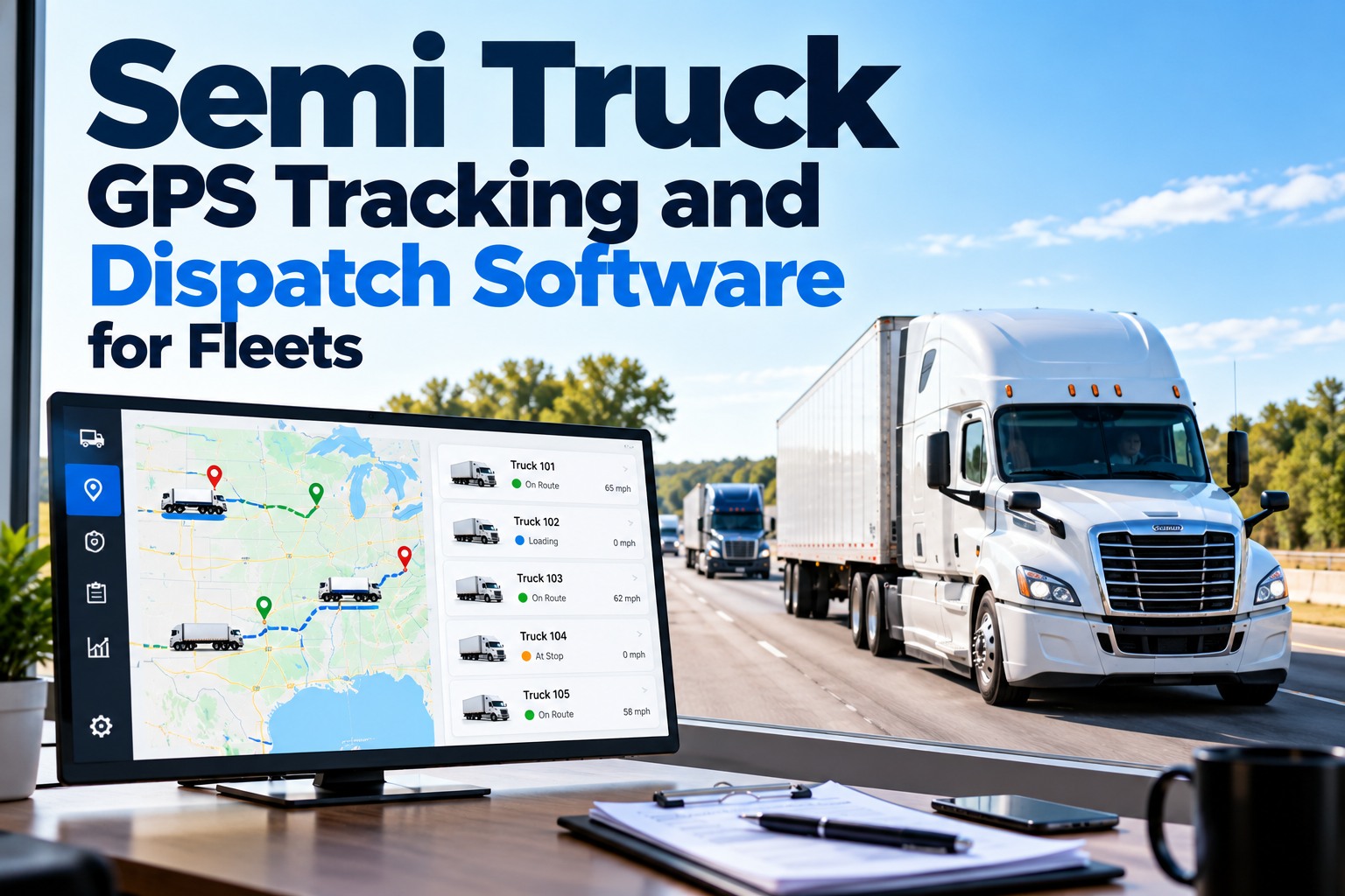
FleetRabbit's dispatch module uses real-time vehicle status and location context for intelligent load assignment. Fleet managers see which drivers are available, where they are currently located, their remaining HOS time, and their vehicle's current maintenance status — all in one consolidated dispatch view that eliminates the fragmented multi-system workflow that slows efficient load matching.
Fuel Monitoring & Idle Cost Tracking
FleetRabbit's fuel management module integrates fuel card data with vehicle location history. For yard environments, this enables precise attribution of fuel consumption to specific yard activities — fuel island visits, dock queuing idle, and maintenance bay warm-up time — providing the cost granularity needed to calculate and reduce yard-specific fuel waste.
Geofencing ROI: Calculating Yard Management Efficiency Gains
Geofencing-driven yard management improvements are measurable across three financial categories. This calculation framework helps fleet managers build a business case for GPS integration investment by quantifying the specific yard-related recoverable costs.
Implementation Best Practices for Fleet Geofencing Programs
Geofencing technology implementation success depends on how well the digital zones reflect actual operational workflows, how alert routing is configured, and how consistently the data generated is acted upon by dispatchers and managers. These best practices guide transportation fleets through implementation that delivers measurable operational improvements from day one.
Map Operational Workflows Before Drawing Digital Boundaries
Walk the physical yard with operations staff before configuring any geofence zones. Identify every recurring movement pattern: dock approach routes, trailer drop sequences, fuel stop protocols, maintenance bay access. Build geofence zones that match actual driver behavior, not idealized workflows. Misconfigured zones that don't match how the yard actually operates generate false alerts that train dispatchers to ignore the system.
Set Alert Thresholds Based on Operational Norms, Not Theoretical Ideals
Dwell time alert thresholds must reflect the actual time required for each zone activity — not aspirational targets. If dock loading realistically requires 2 hours, setting a 90-minute alert will generate constant noise that dispatchers learn to ignore. Calibrate thresholds against historical performance data, then tighten them incrementally as processes improve.
Integrate Geofencing with Dispatch and HOS Workflows from Day One
Geofencing data delivers maximum value when it flows directly into dispatch and HOS monitoring systems — not as a standalone map view that requires manual interpretation. Configure automatic status updates that connect vehicle location events to dispatch availability indicators and HOS monitoring dashboards from the moment the system goes live.
Use After-Hours Security Alerts as a Standard Configuration
Every geofenced facility should have after-hours movement alerts configured from day one. The cost of a single cargo theft or unauthorized vehicle use incident exceeds years of GPS integration costs. Configure after-hours movement detection covering 100% of vehicle and trailer assets, with immediate escalation to security and management personnel without delay.
Review Geofence Event Data Weekly to Identify Operational Patterns
The value of geofencing extends beyond real-time alerts. Weekly review of accumulated dwell time data, zone entry/exit patterns, and deviation frequency reveals systemic inefficiencies that are invisible in day-to-day operations. Assign a specific weekly analytics review to the operations manager most affected by yard efficiency, with standing authority to act on patterns identified.
Frequently Asked Questions: Fleet Geofencing & Yard Management
Take Control of Your Yard Operations
FleetRabbit's GPS integration, HOS monitoring, dispatch, and fuel management tools work together to give logistics fleets complete operational visibility — from yard entry to final delivery confirmation.
Free for 3 vehicles | $3/vehicle/month | No contracts