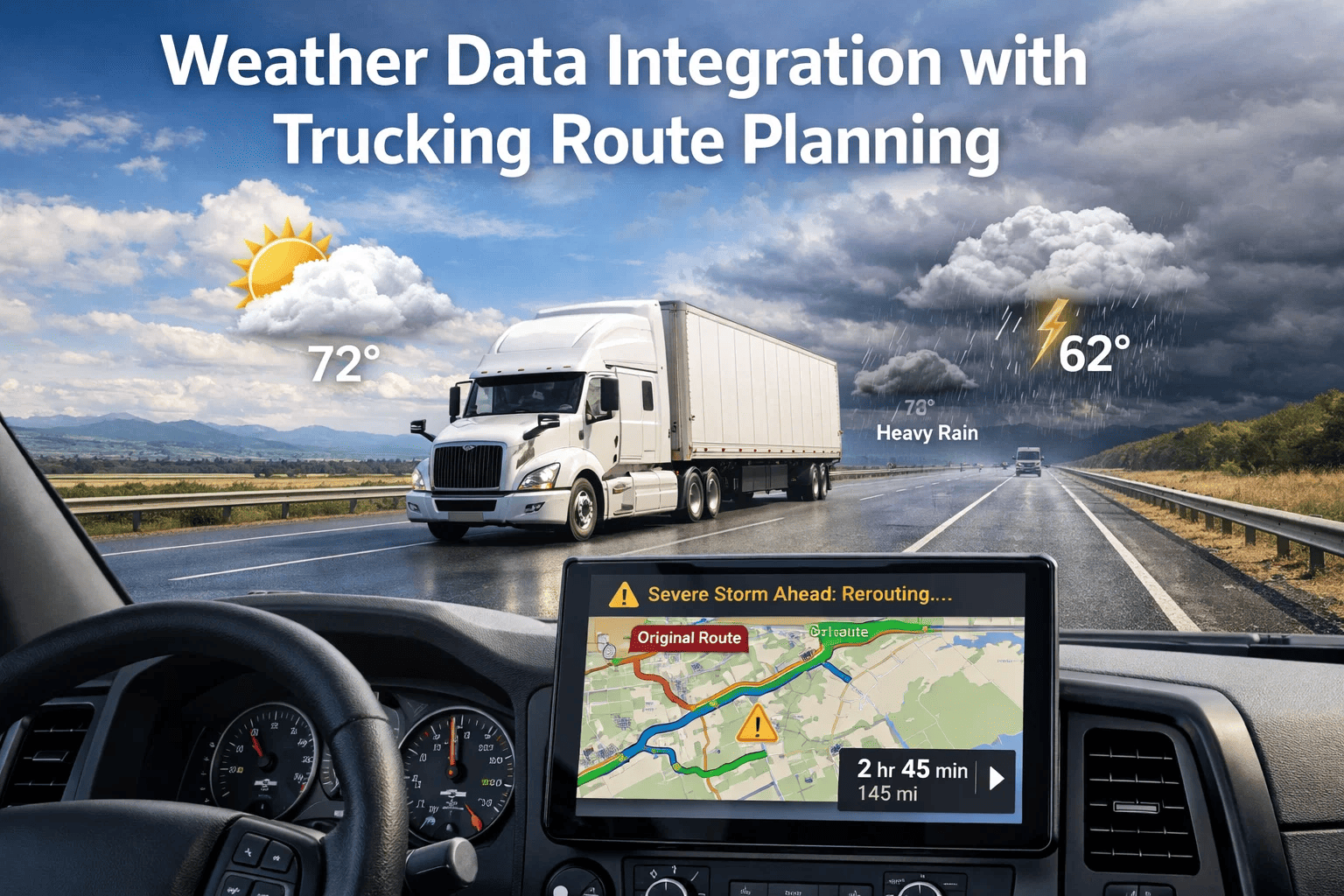
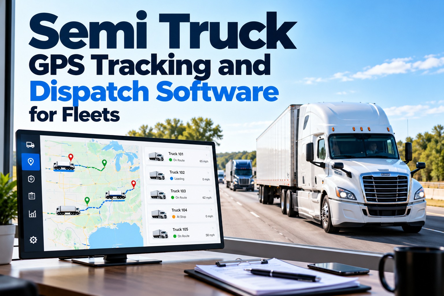
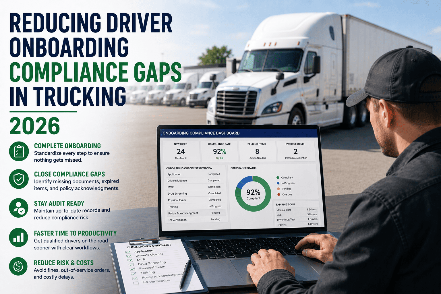
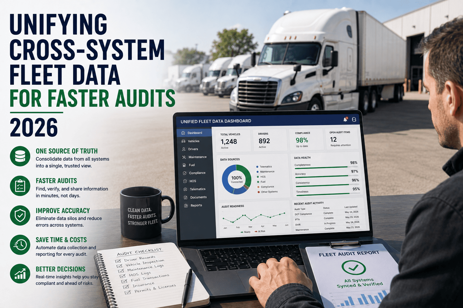
Weather conditions are responsible for approximately 22 percent of all commercial motor vehicle crashes annually — a proportion that has remained stubbornly consistent despite improvements in vehicle safety technology, driver training standards, and road infrastructure design. The reason weather continues to account for such a significant share of commercial vehicle incidents is not a lack of general weather awareness among dispatchers and drivers — it is the absence of sufficiently granular, real-time weather intelligence integrated into the specific route planning decisions that determine whether a particular truck is dispatched on a particular route at a particular hour. A dispatcher who checks a regional weather forecast before assigning loads for the next eight hours is operating with information inadequate for commercial vehicle route planning — regional forecasts do not show the elevation-specific black ice forming on a mountain grade at 3:00 AM, the rapidly developing ground blizzard on a specific interstate corridor, or the flash flood approach closing a planned route segment three hours from now. Book a demo to see how FleetRabbit's route management, driver dispatch, and fleet visibility capabilities provide the operational framework for weather-integrated route planning decisions.
Guide Summary
This guide covers the architecture of weather data integration in commercial trucking route planning — from the real-time data sources that provide operationally useful weather intelligence, to the dispatch decision frameworks that translate weather information into specific routing and timing actions, to the driver communication protocols that ensure weather-related decisions reach the field in time to affect outcomes. FleetRabbit's route management, fleet visibility, and driver communication capabilities provide the operational infrastructure that weather integration tools connect to for fleet-wide weather response coordination.
Weather Data Sources: What Commercial Route Planning Requires
Commercial trucking route planning requires weather intelligence at a specificity and resolution that consumer weather applications — designed for personal travel planning — do not provide. A route spanning 600 miles and crossing three states may encounter five distinct weather systems simultaneously, each requiring different operational responses, at road-segment precision that a statewide forecast cannot capture. The gap between consumer weather data resolution and the route-segment-level precision that commercial dispatch decisions require is what specialized commercial vehicle weather services fill — providing radar integration, road-surface condition forecasting, mile-marker-level precipitation mapping, and wind speed data specifically calibrated to CMV operational thresholds.
Primary — Real-Time Road Conditions
NOAA National Weather Service
Zone forecasts, NWS alerts, and road weather information system (RWIS) data from road-embedded sensors measuring pavement temperature, friction coefficient, and precipitation type at specific road segments on major corridors
Use: Authoritative alert classification (advisory, watch, warning, emergency) — the regulatory baseline for fleet weather response policies
State DOT 511 Road Condition Systems
State-operated road condition reporting systems providing current conditions at highway segment level — closures, chain controls, commercial vehicle restrictions, and emergency management notifications for specific route corridors
Use: Route closure verification and restriction confirmation before dispatch on affected corridors — 511 confirms what radar predicts
Commercial Vehicle-Specific Weather APIs
Specialized weather data platforms (Tomorrow.io, DTN, Weather Company API) providing road-level precipitation and wind data integrated with vehicle routing optimized for commercial dispatch workflows — alerts calibrated to CMV operational thresholds rather than passenger vehicle thresholds
Use: Primary data source for weather-informed routing software and TMS integration — delivers granular route segment weather at the data precision commercial routing requires
Secondary — Predictive and Planning Data
Multi-Day Lane Risk Forecasting
7-14 day weather probability models for specific routing corridors — enabling proactive capacity planning and shipper communication before weather events develop. Particularly useful for scheduling loads on weather-sensitive lanes during seasonal transition periods.
Use: Advance lane planning and shipper appointment window management for corridors with known weather vulnerability in upcoming forecast window
Driver Crowdsourced Condition Reports
Real-time condition observations from drivers currently operating on route corridors — either through fleet communication platforms or industry-wide reporting surfaces (Trucker Path weather, carrier community apps). Ground-truth validation of forecast data from the people actually experiencing the conditions.
Use: Validation and granularity supplement for sensor-based and modeled data — drivers report conditions at micro-segments that monitoring infrastructure doesn't cover
Dispatch Decision Framework: Translating Weather Intelligence into Route Actions
Weather data without a defined dispatch decision framework produces inconsistent responses — dispatchers who interpret weather information individually make different decisions on the same conditions depending on their risk tolerance, their experience with specific corridors, and the delivery pressure of the specific load at stake. A carrier without a documented weather dispatch protocol has, in effect, a different weather policy for each dispatcher on each shift — an inconsistency that creates both safety risk exposure and driver equity concerns when some drivers are held for weather conditions that other dispatchers would have dispatched through.
A documented weather dispatch decision framework defines exactly what operational response is triggered by each weather severity classification on each route category — taking dispatcher discretion in clear-cut situations out of the equation while reserving the consultation-required judgment calls for the genuinely ambiguous border cases where experienced dispatcher assessment should be applied. FleetRabbit's route and dispatch management tools provide the central coordination framework that weather decision protocols feed into — when a weather protocol triggers a hold on a specific corridor, the affected loads in FleetRabbit's dispatch queue can be identified, drivers notified through the mobile app, and shipper communication initiated from a single interface without requiring dispatcher contact with each affected driver and shipper individually.
Weather Event Type
NWS Classification
Dispatch Response
Driver Action Required
Shipper Communication
Rain, fog, light wind
Advisory
Dispatch with briefing — driver alerted to conditions, reduced speed expectation communicated
Acknowledge advisory, adjust speed, increase following distance
No contact required — late delivery communication if ETA extends 30+ minutes
Moderate snow, freezing rain
Watch
Dispatcher-driver route review — route alternatives evaluated, dispatch decision with documentation
Confirm chain availability, report conditions at 30-minute intervals via FleetRabbit app
Proactive ETA revision communication — shipper notified of potential delay and revised window
Heavy snow, ice storm, high winds
Warning
Fleet manager authorization required for dispatch on affected corridor — documented decision authority
Driver may decline without consequence per fleet weather policy — shelter option available
Shipper delay authorization requested before dispatch — appointment revision documented
Blizzard, tornado, flash flood
Emergency
No dispatch on affected corridor — loads on hold, drivers en route authorized to shelter in place
Immediate shelter at nearest safe location — position reported to dispatch via FleetRabbit mobile
Force majeure notification to all shippers with affected loads — estimated resumption communicated when available
Black ice — road temp below 32F with moisture
High-Risk Condition
Time-of-day dispatch review — delay until sunrise temperature rise eliminates ice risk on specific segments
Driver informed of specific high-risk segments with GPS coordinates — enhanced awareness protocol active
Appointment window renegotiation for timed deliveries affected by morning delay protocol
Route Segment Risk Scoring: Applying Weather Intelligence to Specific Corridors
The most sophisticated application of weather data in commercial route planning is route segment risk scoring — assigning a composite weather risk rating to each distinct segment of a planned route based on current and forecast precipitation type, wind speed, road surface temperature, visibility, and elevation profile. A 600-mile route from Chicago to Denver, for example, might score low risk on the eastern flat Interstate portion, moderate risk through the Colorado foothills, and high risk on the I-70 mountain corridor above 10,000 feet where conditions are materially different from the rest of the route. Dispatchers who see segment-level risk scoring can make nuanced decisions — dispatch with enhanced awareness briefing for a route with one moderate-risk segment rather than treating the entire route as moderate-risk, or identify alternate routing that avoids the high-risk segment while adding acceptable distance.
FleetRabbit's route management system provides the framework for documenting segment-specific route notes, alternative route options, and driver briefing records that weather-informed dispatch requires. When a dispatcher identifies a weather risk on a specific segment, the route note in FleetRabbit captures that intelligence — ensuring the driver receives and acknowledges the situation-specific briefing, and that the dispatch record demonstrates the weather assessment was communicated before departure rather than after the fact. Book a demo to review FleetRabbit's route management and driver communication tools for weather-responsive dispatch workflows.
Precipitation Type and Rate
Rain — Score: 1
Mixed / Freezing Rain — Score: 3
Snow — Score: 2-4 depending on rate
Ice Pellets / Sleet — Score: 5
Wind Speed (CMV-Relevant Threshold)
Under 25 mph — Score: 0
25-40 mph — Score: 2
40-55 mph — Score: 4
Over 55 mph — Score: 6 (dispatch halt consideration)
Visibility
Over 1 mile — Score: 0
1/2 to 1 mile — Score: 2
1/4 to 1/2 mile — Score: 3
Under 1/4 mile — Score: 5
Elevation Profile
Below 3,000 ft — Score multiplier: 1.0x
3,000–6,000 ft — Score multiplier: 1.3x
6,000–9,000 ft — Score multiplier: 1.6x
Over 9,000 ft — Score multiplier: 2.0x
Composite Score Response Thresholds
Score 0-3: Standard Dispatch with Weather Briefing
Score 4-6: Enhanced Briefing — Route Alternative Evaluation
Score 7-10: Fleet Manager Authorization Required
Score 11+: Dispatch Hold — Corridor Assessment Before Authorization
Driver Communication Protocols for Weather Events
The effectiveness of a weather dispatch protocol depends entirely on its execution at the driver level — a protocol that holds loads at dispatch but provides no guidance to drivers already en route when conditions develop has addressed only half the operational challenge. Drivers who encounter deteriorating weather mid-route need clear authority to make shelter decisions, specific communication requirements for reporting their status and position, and access to real-time guidance from dispatch that incorporates current weather intelligence for the specific segment they are approaching. The communication infrastructure that supports mid-route weather response — driver-to-dispatch real-time communication with GPS position sharing, dispatcher visibility into all en-route vehicles simultaneously, and documented driver communication records — is the operational platform that differentiates weather-capable carriers from carriers whose weather protocol exists on paper but breaks down at the driver contact point.
FleetRabbit's driver mobile app provides the communication channel for weather event response from both directions — dispatchers can push weather alert messages with specific guidance to affected drivers by route corridor, drivers can report current conditions and shelter status with GPS position from the app, and the dispatcher's fleet dashboard shows all en-route vehicle positions relative to the developing weather event. The position and communication record in FleetRabbit creates the documented weather response trail that demonstrates the carrier's safety management program was actively applied during the weather event — important evidence in any post-incident regulatory review or cargo claim dispute where the carrier's weather decision-making process is examined.
En Route Weather Deterioration
Driver observes deteriorating conditions exceeding advisory threshold — reports to dispatch via FleetRabbit app with current segment and estimated deterioration rate
→
Dispatcher assesses current NWS data for driver's segment — determines if conditions match Watch or Warning classification
→
Dispatch decision communicated — continue with enhanced caution (Watch), shelter assessment (Warning), or immediate shelter (Emergency)
→
Decision and driver communication logged in FleetRabbit — timestamped record of what was communicated and driver acknowledgment
Shelter-in-Place Execution
Driver or dispatch initiates shelter decision — driver selects nearest safe shelter location (truck stop, rest area, shipper facility)
→
Driver reports shelter location via FleetRabbit app — GPS coordinates, facility name, contact number if applicable
→
Dispatch updates load record in FleetRabbit — shipper notified of weather delay, revised ETA documented as "weather-pending"
→
Dispatch maintains 30-60 minute weather reassessment cycle — driver receives resume-route or continue-shelter signal when conditions warrant
Seasonal Weather Planning: Proactive Capacity and Route Strategy
Weather impacts on commercial trucking are not random — they follow predictable seasonal patterns by geography that allow proactive capacity planning, lane rate adjustment, equipment preparation, and driver scheduling that reduces the operational disruption of expected weather events. The Rocky Mountain corridor winter weather pattern, the Gulf Coast hurricane season's impact on Southeast lanes, the spring thaw road weight restriction windows in northern states, and the Great Plains tornado season's effect on regional distribution all represent seasonally anticipated weather disruptions that carrier operations can plan around rather than simply respond to reactively.
Winter — November through March
Primary Regions: Northern states, Mountain West, Upper Midwest
Chain procurement and distribution — chains verified, stored, and available on winter-corridor vehicles before November
Anti-gel fuel additive program — diesel anti-gel procurement for cold-weather operations in northern operating areas
Tire specification review — winter-rated tires or M+S tires for mountain corridor operations where chain requirements alternate with tire requirements
Extended ETA buffer in winter lane rates — rate structures that account for the operational cost of weather delays on northern corridors
State-specific chain control monitoring — California mountain pass requirements, Colorado chain law procedures, Washington state restrictions
Spring — March through May
Primary Regions: Northern states weight restriction windows, Great Plains severe weather
Spring posting (weight restriction) schedule monitoring — plan routes around reduced weight allowances on rural roads during spring thaw in affected northern states
Tornado season protocol activation — Great Plains corridor driver communication protocol for severe thunderstorm and tornado warning response
Flooding corridor identification — spring runoff flood-risk corridors mapped and alternate routing documented before flood season
Summer and Fall
Primary Regions: Gulf Coast and Southeast hurricane impact, summer flash flooding, wildfire smoke
Hurricane preparedness protocol — dispatch decision authority and load management procedures for Gulf Coast and Southeast lanes during hurricane season (June through November)
Flash flood rapid response — summer monsoon season in Southwest and mountain corridors, flash flood watch response protocol
Wildfire smoke visibility protocol — Pacific Coast and Mountain West smoke season driver visibility decision authority
Hot weather tire management — tire pressure monitoring frequency increase during summer heat, tire blowout enhanced prevention protocol
Frequently Asked Questions
QDoes FMCSA have specific regulations that govern what weather conditions a carrier must consider before dispatching or what a driver must do in adverse weather en route?
FMCSA regulations address weather in two primary contexts. 49 CFR 392.14 requires drivers to exercise "extreme caution" in hazardous conditions and grants explicit authority to stop driving when conditions become sufficiently dangerous — the regulation specifically states that a driver shall discontinue operation when conditions are hazardous and the load can be delayed without undue hardship, or when a person with care for public safety has closed the road. This regulation gives drivers legal authority to shelter against dispatcher pressure to continue in dangerous conditions — and carriers whose dispatch protocols acknowledge and support this driver authority are in a stronger compliance position than those whose operational pressure implicitly contradicts it. 49 CFR 392.15 requires vehicles transporting certain cargo types to be driven with particular attention to road conditions. Beyond these direct weather regulations, the general safety regulations require carriers to ensure vehicles are not operated in conditions that exceed safe capability — which creates a safety management obligation to assess weather conditions as part of dispatch planning. FMCSA compliance reviewers examine a carrier's safety management controls (SMC) for evidence that weather considerations are part of the dispatch decision process — carriers with documented weather dispatch protocols satisfy this SMC requirement more completely than carriers with no documented weather policy.
Book a demo to discuss how FleetRabbit's dispatch documentation supports your weather safety management program documentation for FMCSA compliance purposes.
QHow should carriers handle shipper pressure to dispatch through weather conditions that the carrier's safety protocol would hold?
Shipper pressure to dispatch through weather conditions that the carrier's protocol classifies as hold-required is one of the most practically challenging situations in weather management — the commercial relationship creates incentive to comply, but the regulatory and liability exposure from dispatching through serious weather conditions creates consequences that are orders of magnitude more severe than any single delivery delay. The foundational position is regulatory: FMCSA regulations make the carrier responsible for the safety of CMV operation — not the shipper. No shipper instruction can legally compel a carrier to dispatch through conditions that the carrier's judgment classifies as unsafe. Practically, carriers who document their weather decision authority clearly in their carrier agreements — including a specific clause that the carrier retains unilateral authority to delay delivery for weather safety reasons — establish the contractual foundation for weather holds without creating breach of contract exposure. When a weather hold is enforced against shipper pressure, FleetRabbit's dispatch documentation creates the timestamped protocol compliance record — the carrier dispatched according to its documented weather policy, not shipper commercial pressure. This documentation trail protects the carrier's regulatory position and would be central evidence in any subsequent dispute about the appropriateness of the weather delay decision.
QWhat weather-related data from telematics systems is most useful for fleet managers during active weather events?
During active weather events, the most operationally useful telematics data for fleet managers monitoring their en-route fleet includes: vehicle position updated at high frequency — knowing exactly where every truck is relative to the developing weather event allows targeted outreach rather than fleet-wide communication noise; vehicle speed compared to posted speed — trucks operating significantly below posted speed on a segment may be reporting de facto through their driving behavior that conditions are worse than monitored data suggests; harsh braking event frequency — elevated harsh braking rates on a corridor are ground-truth confirmation of traction-compromised road conditions before official road condition reports are available; and engine idle with no movement — vehicles that have stopped and idled for 20 or more minutes on an open road segment may indicate an accident or road closure developing before official notifications reach dispatch. FleetRabbit's fleet visibility dashboard provides the vehicle position and status data that supports these monitoring activities during weather events — allowing dispatch to identify which vehicles are in the impact zone, which are maintaining normal speed progression, and which may need direct contact to assess status. Combining FleetRabbit's vehicle position data with real-time NWS radar overlaid on the route map creates the operational weather picture that proactive fleet weather management requires.
Build Weather-Responsive Dispatch Capability Into Your Fleet Operations
FleetRabbit's fleet visibility dashboard, driver mobile communication, and route management tools provide the operational coordination platform that transforms weather data into organized, documented fleet response — protecting your drivers, your loads, and your compliance record when weather events affect your lanes.
Route Risk Assessment
Weather Dispatch Protocols
Driver Mobile Communication
Fleet Visibility Dashboard
Seasonal Planning Tools
Dispatch Documentation
April 21, 2026
By Jason Smith
All Posts